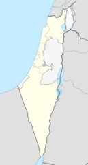
Yatir Forest Israel Location
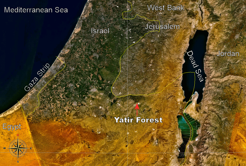
Click on the Yatir Forest Israel Location to view it full screen. File Type: png, File size: 485773 bytes (474.39 KB), Map Dimensions: 1024px x 692px (256 colors)
More State of Israel Static Maps
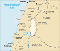
000 Israel Harta
330 x 715 - 10,202k - png
800px Arab Israeli Map2
800 x 455 - 40,246k - jpg
Carteisrael
330 x 715 - 20,034k - png
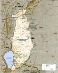
Golan Heights Map 1
415 x 354 - 11,604k - png
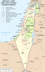
Israel And Occupied Territories Map
1428 x 2289 - 200,655k - png
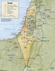
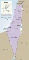
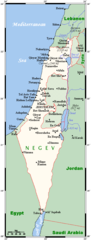
Israel Map
924 x 1192 - 332,745k - jpg

Israel Flag Map
2048 x 6410 - 156,638k - png
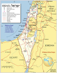
Israel
1000 x 2714 - 371,637k - jpg
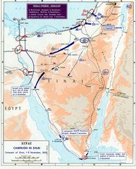
1956 Suez War
740 x 918 - 135,033k - jpg
Administrative Regions In Israel
1800 x 3446 - 497,850k - png
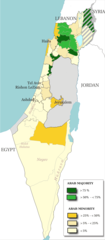
Arab Population In Israel
692 x 1575 - 62,430k - png
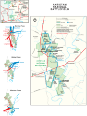
Battlefield of Antietam (sharpsburg) Map
2176 x 2878 - 333,732k - png
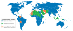
Foreign Relations of Israel Map
1480 x 636 - 24,221k - png
Golan Heights Relief Map
974 x 1231 - 250,709k - jpg
Israel Outline Map
2000 x 3717 - 138,083k - png
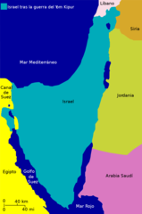
Israel After Yom Kippur War Map
1000 x 1505 - 31,847k - png
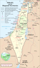
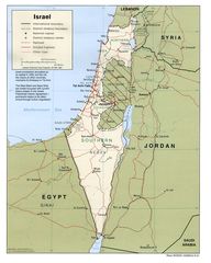
Israel And the Disputed Territories Map
1350 x 2300 - 440,882k - png
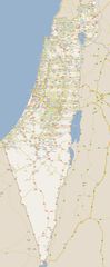
Israel Big Map
1367 x 3310 - 647,951k - jpg
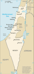
Israel Cia Map
329 x 713 - 26,518k - png
Israel Diplomatic Relations
2000 x 993 - 141,394k - png
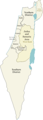
Israel Districts
350 x 969 - 22,111k - png
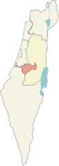
Israel Districts Map
500 x 1341 - 30,102k - png
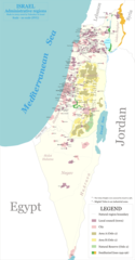
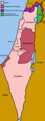
Israel Gaza Strip And West Bank
709 x 1435 - 61,884k - jpg
Israel Jerusalem District
262 x 727 - 11,807k - png
Israel Map 1
496 x 1301 - 19,671k - png
Israel Map 2
1196 x 1537 - 499,715k - jpg
Israel Outline Map 1
2000 x 3717 - 138,083k - png
Israel Policital Map
1020 x 1278 - 230,920k - jpg
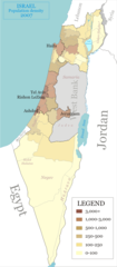
Israel Population Density Map
692 x 1575 - 76,276k - png
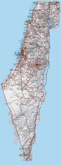
Israel Railway
1600 x 1206 - 102,553k - png