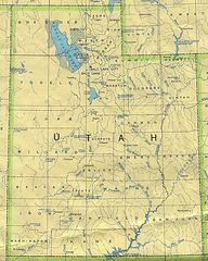
Utah Rivers And Lakes
Utah's arid climate means its rivers are especially precious resources.
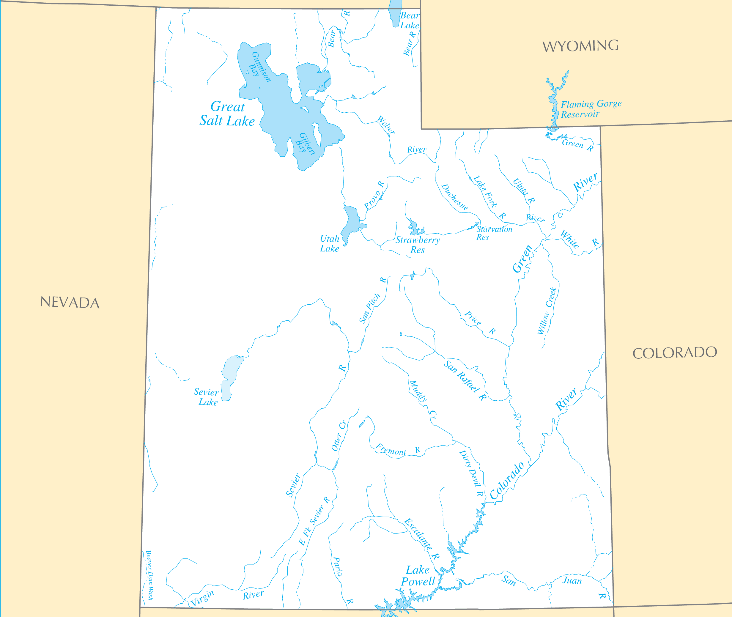
The Colorado River
The Colorado River forms much of Utah's eastern border with Colorado and Arizona. Dams along the river created Lake Powell and critical water storage for Western states.
The Green River
Flowing through the central part of the state, the Green River converges with the Colorado River and was an early trade route. It offers renowned whitewater rafting.
The San Juan River
The San Juan River in southeast Utah provides a wild, scenic float trip through the desert for adventurous rafters.
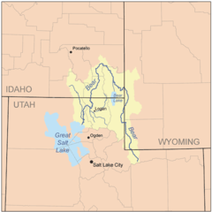
The Great Salt Lake
Utah's most iconic body of water is the Great Salt Lake.
The Great Salt Lake
The massive Great Salt Lake is one of the world's saltiest lakes. Wildlife like birds and brine shrimp thrive in its high salinity. It also affects the local climate, creating lake-effect snow.
Water access and usage continues to be a priority in Utah, one of the driest states. Conservation is important to support growth and recreation.
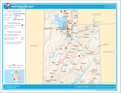
More Utah Static Maps
Map of Utah Na 1
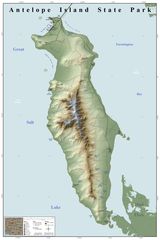
Antelope Island State Park Map
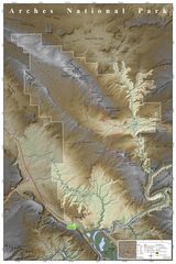
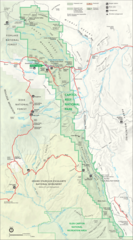
Arches National Park Map
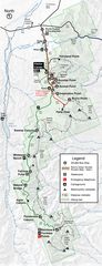
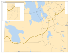
Bearrivermap
Bryce Canyon Road Map
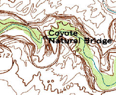
Coyote Natural Bridge Map
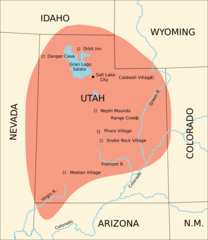
Fremont Culture Region
Gsenm Map
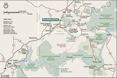
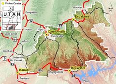
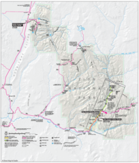
Geography Zion National Park
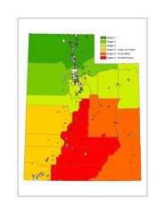
Image Utah Regions
Karte Zion Nationalpark
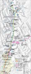
Map Zion Canyon
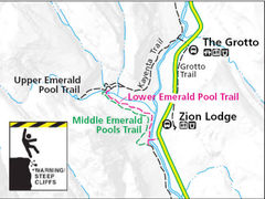
Map Emerald Pool Trail
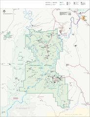
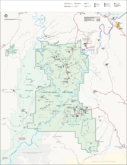
Map of Canyonlands National Park
Map of Canyonlands National Park 1
Map of Capitol Reef National Park
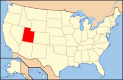
Map of Usa Ut
Map of Usa Highlighting Utah
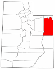
Map of Utah Highlighting Uintah County
Map of Hovenweep Nm
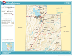
National Atlas Utah
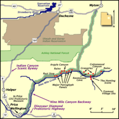
Ninemilecanyon Map
Pony Express Trail Through Utah
Utmap Doton Wasatchfront
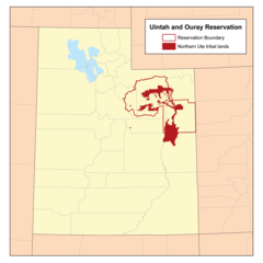
Uintahirmap
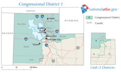
United States House of Representatives, Utah District 1 Map
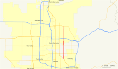
Utah 90
Utah Sr 181 Map
Utah Ref 2001