Alberta, CA
Alberta: province of Canada
About
State Snapshot
Alberta at a glance
Alberta currently has 96 quality-checked populated place pages and 0 county pages linked on MapSof.
Mapped cities & towns
96
These counts use a stricter populated-place filter so the main lists stay focused on real city and town pages.
County pages
0
Open related pagesLargest city
CalgaryPopulation 1,239,220
Top linked places
Quick Facts about Alberta
| Population | 0 |
| Country | Canada |
| Postal code | T |
| Phone Area Codes | 780, 825, 587, 403 |
| Area | 661848 km2 |
| Official name | Alberta, Alberta |
| Continent | North America |
| Easternmost point | Point(-110.0 54.5) |
| Northernmost point | Point(-115.0 60.0) |
| Latitude & Longitude | 52.2833,-117.4690 |
| Legislative body | Legislature of Alberta |
| Named for | Princess Louise, Duchess of Argyll |
| Official language | English |
| Capital | Edmonton |
| Establishment | September 01, 1905 (120 years ago) |
| Time Zone | Mountain Time Zone |
| Local time | 13:07:21 (24th July 2026) |
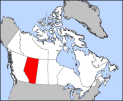
Geography
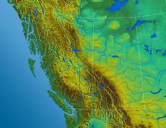
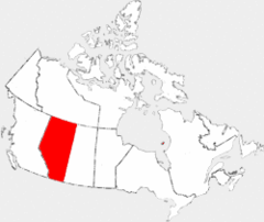
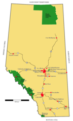
Alberta is located at 52°16'60"N 117°28'8"W (52.283328931, -117.469001862). It has 4 neighbors: Montana, British Columbia, Northwest Territories and Saskatchewan.
Alberta map
The largest city of Alberta is Calgary with a population of 1,239,220. Other cities include, Lethbridge population 70,617, Grande Prairie population 63,166, Medicine Hat population 63,138 and Spruce Grove population 36,135. See all Alberta cities & populated places.
Largest Cities in Alberta (more)
Cities, Towns, Villages, Neighborhoods & Other Populated Places in Alberta.
| City Name | County | Population |
|---|---|---|
| Calgary | 1,239,220 | |
| Devon | 1,194,166 | |
| Edmonton | 932,546 | |
| Red Deer | 73,593 | |
| Lethbridge | 70,617 | |
| Grande Prairie | 63,166 | |
| Medicine Hat | 63,138 | |
| Sherwood Park | 55,063 | |
| Spruce Grove | 36,135 | |
| Airdrie | 24,673 | |
| Cochrane | 16,365 | |
| Camrose | 15,686 | |
| Leduc | 15,561 | |
| Okotoks | 14,826 | |
| Strathmore | 13,592 | |
| Brooks | 12,744 |
Show more Alberta cities and populated places
Official website of Alberta
Official WebsiteDemographics
| Year | Population | % Change | Method |
|---|---|---|---|
| 1901 | 73,022 | - | census |
| 1921 | 588,454 | 87.59% | census |
| 1931 | 731,605 | 19.57% | census |
| 1941 | 796,169 | 8.11% | census |
| 1951 | 939,501 | 15.26% | census |
| 1956 | 1,123,116 | 16.35% | census |
| 1961 | 1,331,944 | 15.68% | census |
| 1966 | 1,463,203 | 8.97% | census |
| 1971 | 1,627,874 | 10.12% | census |
| 1976 | 1,838,037 | 11.43% | census |
| 2011 | 3,645,257 | 49.58% | census |
| 2016 | 374,295 | -873.9% | 1911-01-01T00:00:00Z |
| 2017 | 4,306,039 | 91.31% | estimation process |
| 2026 | 41,651,653 | 89.66% |
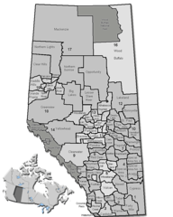
Alberta Counties
| County Name | Population |
|---|
Show more Alberta counties
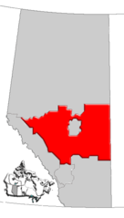
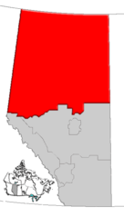
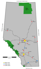
Map & Images (more maps)
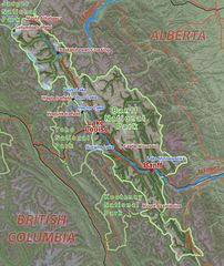
Banffparkmap
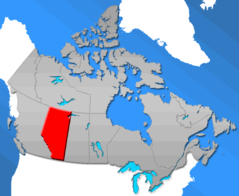
Ab Canada Province
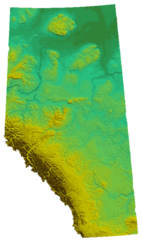
Ab Physical Map
Alberta Mapa
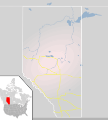
Alberta Municipal Districts
Alberta Calgary Region Map
Alberta Edmonton Region Map
Alberta Central Map
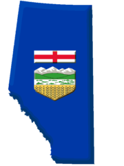
Alberta Flag Contour
Alberta Map
Alberta Northern Map
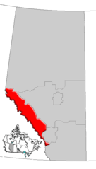
Alberta Rockies Map
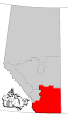
Alberta Southern Map
Albertahockeymap
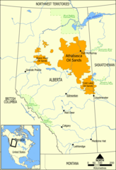
Athabasca Oil Sands Map
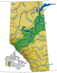
Athabasca Watershed
Blank Map Alberta
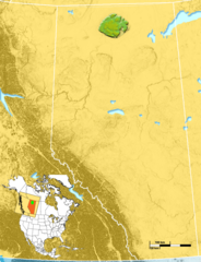
Caribou Mountains Location
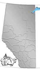
Census Divisions Ab
Dwalberta