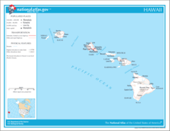
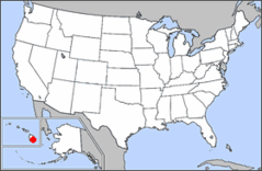
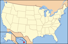
Hawaii Map
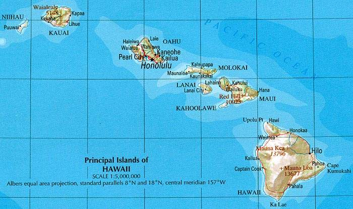
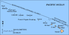
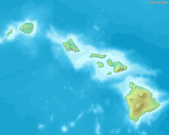
The Hawaiian Islands are an archipelago located in the Pacific Ocean. Hawaii is the 50th and most recent U.S. state, admitted to the Union in 1959. The islands stretch across 1,500 miles in the central Pacific Ocean.
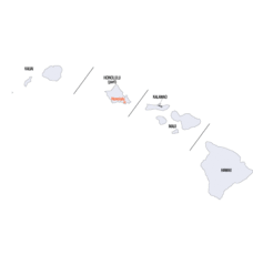
The largest and most populated island is Oahu, home to the state's capital and largest city Honolulu. Oahu attracts the most tourists out of all the islands with popular destinations like Waikiki Beach and Pearl Harbor.
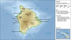
The island of Hawaii, nicknamed "The Big Island", is the largest island but less populated than Oahu. The Big Island features Hawaii Volcanoes National Park and active volcanoes Mauna Loa and Kilauea.
Maui is the second largest Hawaiian island and a popular tourist spot. Maui has numerous beaches, the Haleakala volcano, and the old whaling town of Lahaina. Other islands include Kauai, known as the "Garden Isle" for its lush green landscapes, and Molokai.
Important cities and towns in Hawaii besides Honolulu include Hilo and Kailua-Kona on the Big Island. Hawaii's unique remoteness in the Pacific gives it a distinctive Polynesian culture different than the continental U.S. The tropical, volcanic islands offer diverse landscapes and year-round warm climate.
More Hawaii Static Maps
Map of Hawaii Na 1
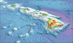
2003 3d Hawaiian Islands Usgs I2809
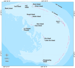
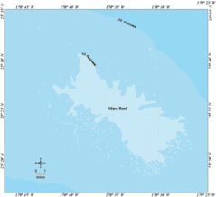
Ffs Map Lrg
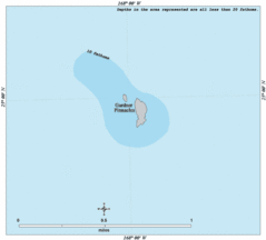
Gardner Map Lrg
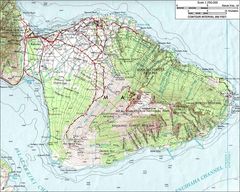
Haleakalamap
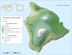
Hawaii Island Ecosystem Native Map Fr
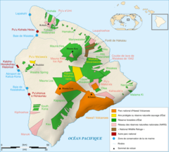
Hawaii Island Protected Areas Map Fr

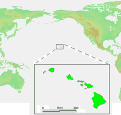
Hawaii Islands
Hawaii Islands2

Hawaii Map
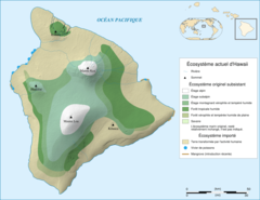
Hawaii Ecosystem Today
Hawaii Gmt De
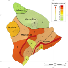
Hawaii Hazard Map Fr
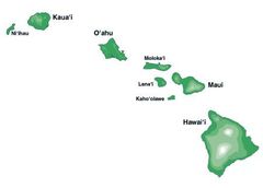
Hawaii Islands 3
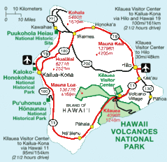
Hawaii National Parks Map

Hawaii Population Map 1
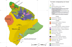
Hawaii Stratigraphic Map Fr
Hawaii Counties Map
Hawaiianislandchain Usgs
Karte Des Hawaiarchipels
Kure Map Lrg
La2 Demis Hawaii
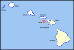
Lanai Island Location (southeastern Islands)
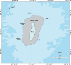
Laysan Map Lrg
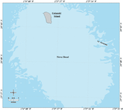
Lisianski Map Lrg
Locmap Hawaii Volcanoes National Park
Map of Usa Hi Full
Map of Usa Hi

Map of Usa Highlighting Hawaii