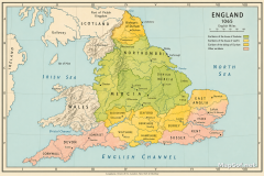
England in 1066 Political Map: Earldoms, Harold Godwinson & Campaigns
England in 1066: Earldoms, Shires, and Power on the Eve of Conquest
This professional political map presents England in 1066 just before the Norman Conquest, detailing the territorial balance between King Harold and the leading earls. It color-codes control by region: Shires under King Harold (blue), Ruled by Earl Gyrth (light pink), Ruled by Earl Leofwine (yellow), Ruled by Waltheof (green), Ruled by Edwin (dark pink), and Ruled by Morcar (dark green). Cumberland and Westmorland appear as Disputed with Scotland in striped symbology. The map includes Wales, Scotland, and surrounding waters such as the Irish Sea, North Sea, and English Channel, extending north to the EARLDOM OF ORKNEY and south toward FRANCE, with a clear north arrow and dual scale bars.
Campaigns and Battles of 1066
Military movements are traced with precise arrows: Tostig in red for April–May 1066 raids, including Sandwich Tostig lands in May and Tostig raids East Anglia in May, and defeat at Linsey. Harald Hardrada and Tostig appear in orange advancing on York, while Harold is shown in blue for September 1066. Battle sites near York are marked with crossed swords at Fulford Gate 20 September and Stamford Bridge 25 September. Sharp Old Shire boundaries and legible labels highlight key places such as YORKSHIRE, NORTHUMBERLAND, SUSSEX, KENT, LONDON, and Isle of Wight. A clean legend clarifies colors and symbols, and notes the English fleet and army mobilised summer 1066. Demobilised 8 September, providing essential context for the rapid shifts that shaped the Norman Conquest.

More England Static Maps
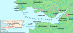
Bristol Channel Detailed Map
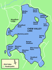
Chew Valley Lake Map
Chew Valley Map
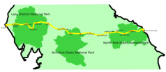
Coast 2 Coast
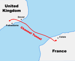
Course Channeltunnel En
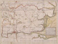
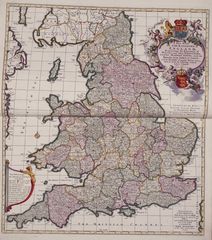
Diocese of London Survey By John Harris 1714
England Uk
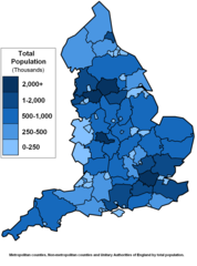
England Counties Population
English 1998 Admin Areas Flood Damage July 24 2007
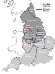
English Dialects

English Counties Flood Damage July 24 2007
English Counties Flooded In 2007

Europe Location Eng
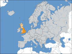
Europelocation England
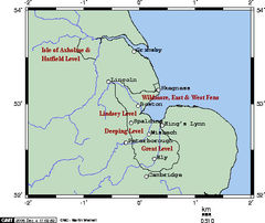
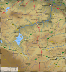
Fens Omc
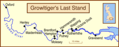
Growltiger Placenames
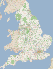
England Large Map 1
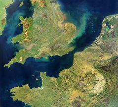
England Satellite Image
England Political And Historical Map
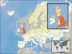
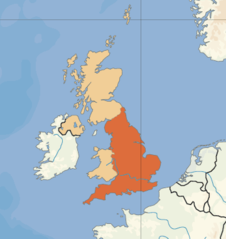
Where Is England Located
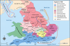
England in 1066 Political Map: Earldoms, Harold Godwinson & Campaigns