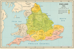
England 1065 Political Map of Earldoms Before the Norman Conquest
England 1065: Earldoms and Power Before the Norman Conquest
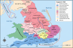
This antique-style, hand-colored reference map depicts England’s political divisions in 1065 at the end of the Late Anglo-Saxon period. A clear legend distinguishes the great houses: Earldoms of the house of Godwin in pink/orange, including Wessex and East Anglia; Earldoms of the house of Leofric in green, centered on Mercia; and Other families in yellow, such as Northumbria. Sharp borders, professional typography, and a calibrated English Miles scale present the balance of power on the eve of 1066, with seas lightly washed and neighboring Wales and southern Scotland shown for context.
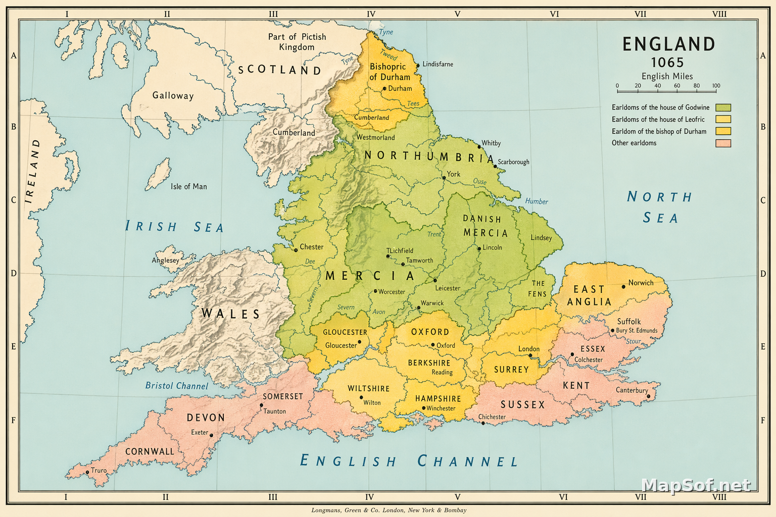
Cartographic Detail and Historical Context
The map labels major earldoms, shires, and towns—York, Lincoln, Norwich, London and Westminster, Winchester, Canterbury, Exeter, Chester, and Bristol—together with key rivers (Thames, Humber, Tees), coastal features (Irish Sea, North Sea, English Channel, Bristol Channel), and frontier markers like Offa’s Dyke. It includes notable places tied to the period—Bishopric of Durham, Ely, Stamford Bridge, Hastings, Pevensey, and Bamburgh—along with regions such as Gwynedd, Powys, and Lothian. Designed with crisp boundaries and a harmonious palette on an aged-paper aesthetic, this map offers a precise visual guide to England’s earldoms in 1065 and the territorial reach of the Godwin and Leofric factions just before the Norman transformation of the realm.
More England Static Maps
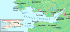
Bristol Channel Detailed Map
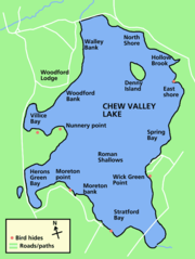
Chew Valley Lake Map
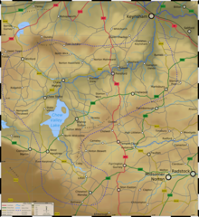
Chew Valley Map
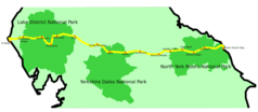
Coast 2 Coast
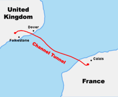
Course Channeltunnel En
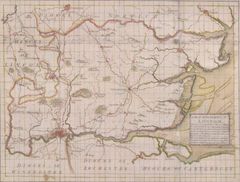
Diocese of London Survey By John Harris 1714
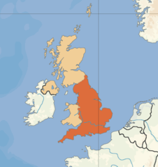
England Uk
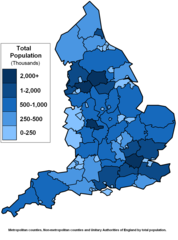
England Counties Population
English 1998 Admin Areas Flood Damage July 24 2007
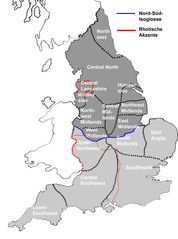
English Dialects

English Counties Flood Damage July 24 2007
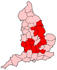
English Counties Flooded In 2007

Europe Location Eng
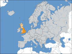
Europelocation England
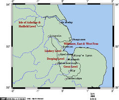
Fens Omc
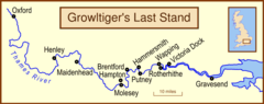
Growltiger Placenames
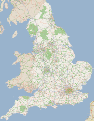
England Large Map 1
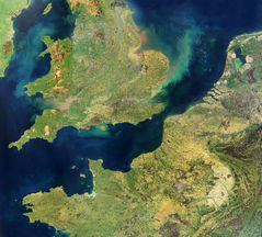
England Satellite Image
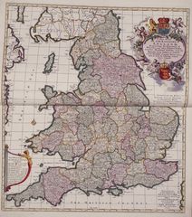
England Political And Historical Map
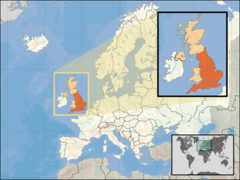
Where Is England Located
England in 1066 Political Map: Earldoms, Harold Godwinson & Campaigns