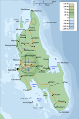
Zanzibar Island Map

Click on the Zanzibar Island Map to view it full screen. File Type: png, File size: 616560 bytes (602.11 KB), Map Dimensions: 849px x 1677px (256 colors)
More Zanzibar Static Maps
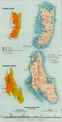
Topographic Map of Zanzibar
2000 x 3005 - 233,349k - png

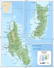
Zanzibar And Pemba Islands
849 x 1677 - 329,624k - jpg
Map of Zanzibar Archipelago
1000 x 1264 - 264,142k - jpg
Zanzibar Island Map
849 x 1677 - 616,560k - png