Waikoloa Village, Hawaii
Waikoloa Village: census-designated place in Hawaiʻi County, Hawaiʻi, United States.
About
Waikoloa Village is a CDP located in the county of Fugloy in the U.S. state of Hawaii.
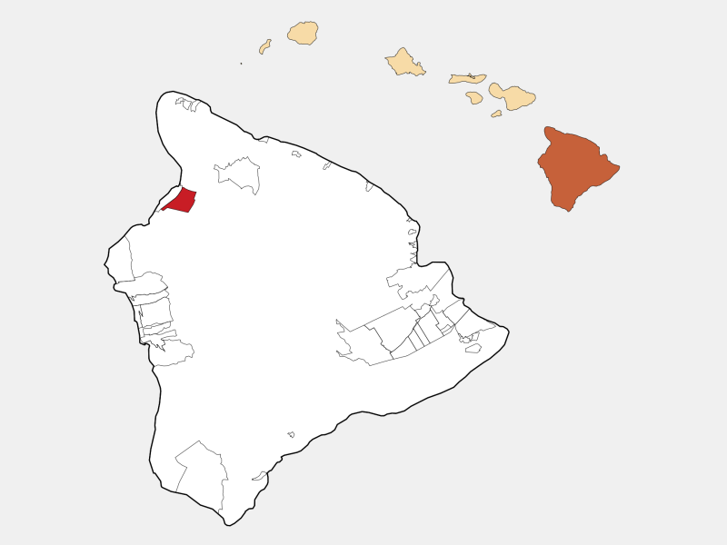
Quick Facts about Waikoloa Village
| Country | United States of America |
| State | Hawaii (United States) |
| County | Fugloy |
| Postal code | 96738 |
| Phone Area Codes | 808 |
| Area | 46.18 km2 |
| Latitude & Longitude | 19.9325,-155.8278 |
| Altitude | 1,345 feet / 410 meters |
| Time Zone | Pacific/Honolulu |
| Local time | 03:37:44 (6th November 2026) |
| Weather | 89℉ Mostly Sunny 7-days weather |
Hawaii County Hawaii Incorporated and Unincorporated areas Waikoloa Village Highlighted locator map image
Geography
Waikoloa Village is located at 19°55'57"N 155°49'40"W (19.9325, -155.8277778).
Waikoloa Village map
Click "full screen"  icon to open full mode. View satellite images
Weather
89°F
Mostly Sunny
15 mph ENE
This Afternoon
Mostly sunny. High near 89, with temperatures falling to around 83 in the afternoon. East northeast wind around 15 mph, with gusts as high as 21 mph.
7-Day ForecastNearby Schools and Colleges
Schools and campuses linked to Waikoloa Village, HI. Select a name to open its map and contact details.
| Code | Name | City | ZIP |
|---|---|---|---|
| 461333 | Mauna Loa Helicopters | Kailua Kona (HI) | 96740-2650 |
Closest post offices linked to Waikoloa Village.
| Post Office Name | City | ZIP |
|---|---|---|
| Waikoloa Post Office | Waikoloa (HI) | 96738 |
| Kamuela Post Office | Kamuela (HI) | 96743 |
| Haw Post Office | Hawi (HI) | 96719 |
| Kukuihael Post Office | Honokaa (HI) | 96727 |
| Kapaau Post Office | Kapaau (HI) | 96755 |