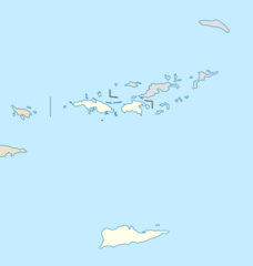
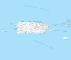
Map of Virgin Islands Na 1

Click on the Map of Virgin Islands Na 1 to view it full screen. File Type: png, File size: 55042 bytes (53.75 KB), Map Dimensions: 1200px x 927px (256 colors)
More Virgin Islands Static Maps
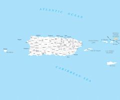
Map of Virgin Islands Na 1
1200 x 927 - 55,042k - png
Usa Virgin Islands Location Map
2000 x 2102 - 46,976k - png
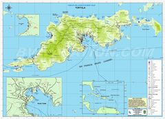
Virgin Islands Tourist Map
2508 x 1822 - 564,622k - jpg
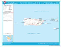
Virgin Islands Political Map
1036 x 1525 - 378,867k - jpg
Virgin Islands Cities And Towns
2457 x 2076 - 98,550k - PNG
Virgin Islands County Map
2466 x 2064 - 94,243k - PNG
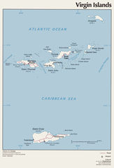
Virgin Islands Reference Map
2457 x 2064 - 84,557k - PNG