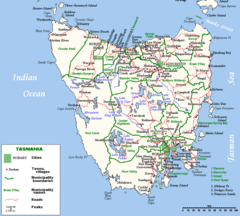
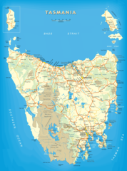
Local Government Map of Tasmania

Click on the Local Government Map of Tasmania to view it full screen. File Type: png, File size: 75059 bytes (73.3 KB), Map Dimensions: 1000px x 1143px (256 colors)
More Tasmania Static Maps
Beaconsfield Tasmania Location Map
1200 x 1409 - 78,279k - png
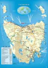
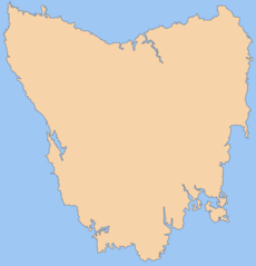
Tasmania
1150 x 1338 - 73,659k - png
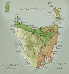
Tasmania Bass Strait Map
800 x 1111 - 86,726k - png
Tasmania Island
1000 x 898 - 188,780k - png
Tasmania Map
1150 x 1385 - 168,011k - jpg
Tasmania Map 1
926 x 1314 - 359,691k - png
Tasmania Map 2
1180 x 1691 - 221,297k - jpg
Tasmania Map In 1916
1091 x 1165 - 205,447k - jpg
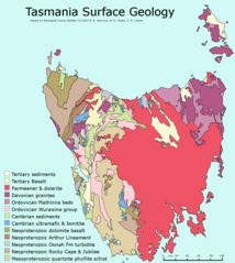
Tasmania Surface Geology Map
1005 x 1122 - 47,070k - png
Blank Map of Tasmania
1800 x 1873 - 75,762k - png
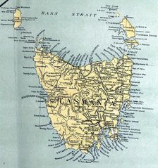
Historical Map of Tasmania
803 x 860 - 108,685k - jpg
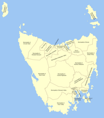
Local Government Map of Tasmania
1000 x 1143 - 75,059k - png
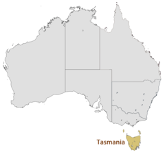
Location Map of Tasmania
1493 x 1380 - 47,042k - png
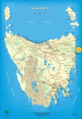
Map of Tasmania
1174 x 1583 - 231,535k - png
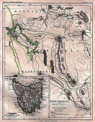
Historical Map West Tasmania (1865)
939 x 1200 - 323,098k - jpg
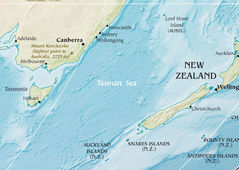
Tasman Sea
771 x 548 - 106,527k - jpg