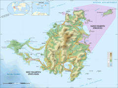
Saint Martin Island Topographic Map

Click on the Saint Martin Island Topographic Map to view it full screen. File Type: png, File size: 390347 bytes (381.2 KB), Map Dimensions: 2000px x 1508px (256 colors)
More Saint Martin Static Maps
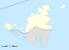
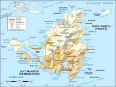
Saint Martin Collectivity Location Map
2000 x 1445 - 71,363k - png

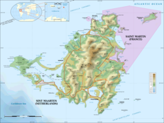
Saint Martin Collectivity Relief Location Map
1175 x 849 - 143,804k - jpg
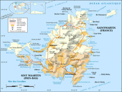
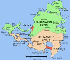
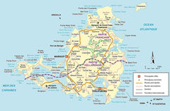
Saint Martin Island Map Fr
1800 x 1355 - 346,116k - png
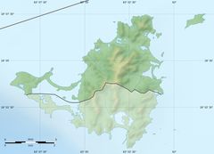
Saint Martin Relief Map
1175 x 849 - 143,804k - jpg
Sain Martin Island Topographic Map Fr
1800 x 1357 - 385,247k - png
Saint Martin Island Map
2000 x 1506 - 308,203k - png
Saint Martin Island Topographic Map
2000 x 1508 - 390,347k - png
Saint Martin Island Map
1523 x 1300 - 105,755k - PNG
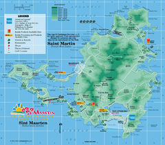
Sint Maarten
970 x 848 - 290,130k - JPG
St Martin
2119 x 1390 - 655,566k - JPG