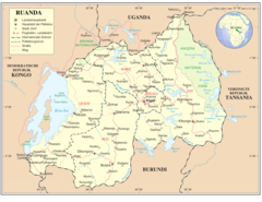
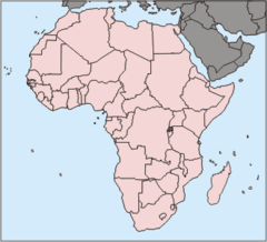
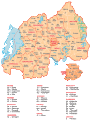
Rwanda Provinces 2006
Click on the Rwanda Provinces 2006 to view it full screen. File Type: png, File size: 9671 bytes (9.44 KB), Map Dimensions: 450px x 398px (256 colors)
More Republic of Rwanda Static Maps

000 Ruanda Harta
330 x 352 - 8,233k - png

At0721 Map 4
868 x 811 - 8,962k - png
Carte Rwanda
326 x 348 - 13,353k - png
East Province Districts
1056 x 816 - 18,858k - png
Flag Map of Rwanda
920 x 808 - 16,769k - png
Kayonzadist
1025 x 595 - 10,143k - png
Kigali 30 17752e 1 97396s 1
1280 x 958 - 261,450k - jpg
Lake Victoria Vegetation Map Blank 1
1150 x 900 - 284,935k - jpg
Lake Victoria Vegetation Map Fr 1
1150 x 900 - 291,395k - jpg
Locationrwanda
920 x 460 - 23,294k - png
Mapa Rwandy
329 x 353 - 13,122k - png
North Province Districts
1056 x 816 - 13,573k - png
Rpf Buergerkrieg Ruanda 1994
1181 x 1034 - 278,273k - jpg
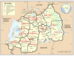
Ruanda 2007 De
920 x 711 - 106,314k - png
Ruanda Deutsch Uno Karte
2600 x 1932 - 465,535k - jpg
Ruanda Deutsch Uno Karte 1
920 x 711 - 76,733k - png
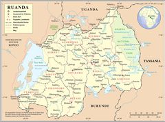
Ruanda Prov 2005 De
920 x 711 - 79,534k - png
Ruanda Pos
330 x 300 - 10,402k - png
Rw Map Fi
330 x 352 - 12,764k - png
Rw Map
330 x 352 - 13,201k - png
Rwamaganadist
1025 x 595 - 10,132k - png
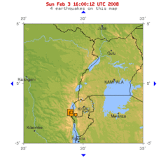
Rwanda 2008 Earthquake
500 x 496 - 22,866k - gif
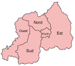
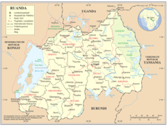
Rwanda Provinces 2006
450 x 398 - 9,671k - png
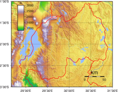
Rwanda Topography
950 x 746 - 405,111k - png
Rwanda Map Blank
330 x 352 - 8,045k - png
Rwanda Geohive
740 x 989 - 74,478k - gif
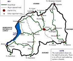
Rwandaroads
585 x 490 - 60,773k - jpg
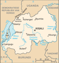
Rwandakaart
440 x 469 - 30,579k - png
Svg Koort Ruanda
920 x 812 - 15,288k - png
Satellite Image of Rwanda In May 2002
933 x 809 - 200,882k - jpg