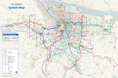
Portland Commuter Rail Map
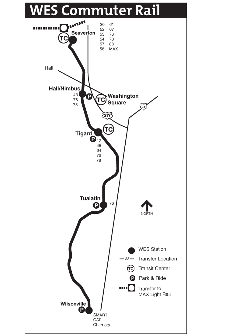
Click on the Portland Commuter Rail Map to view it full screen. File Type: png, File size: 29371 bytes (28.68 KB), Map Dimensions: 743px x 1100px (256 colors)
More Portland Static Maps
Portland Commuter Rail Map
743 x 1100 - 29,371k - png
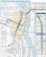
Portland Downtown Transport Map (city Center)
1300 x 1623 - 456,041k - png
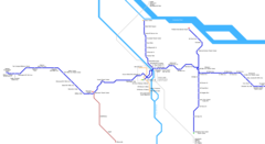
Portland Metro System Map (subway)
1799 x 1100 - 119,794k - png
Portland Transport Map
2400 x 1600 - 840,208k - png
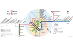
Portland Metro Map
1962 x 1073 - 22,690k - png