Location of Piedmont Map
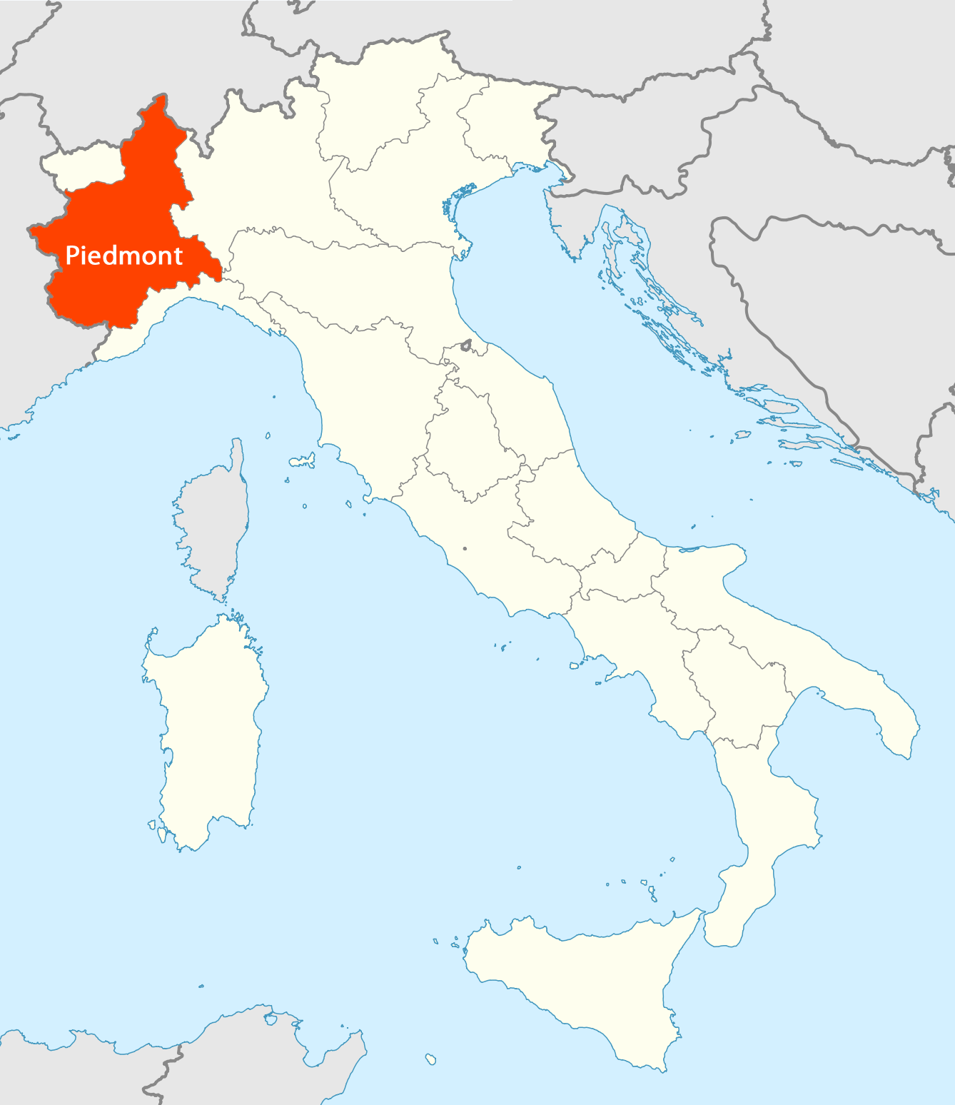
Click on the Location of Piedmont Map to view it full screen. File Type: png, File size: 100834 bytes (98.47 KB), Map Dimensions: 1338px x 1548px (256 colors)
More Piedmont Static Maps
Location of Piedmont Map
1338 x 1548 - 100,834k - png
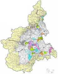
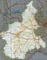
Detailed Map of Piedmont
1600 x 2070 - 548,790k - jpg

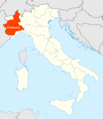
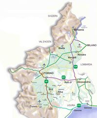
Map of Piedmont
700 x 685 - 78,724k - jpg
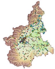
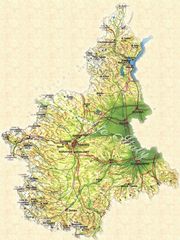
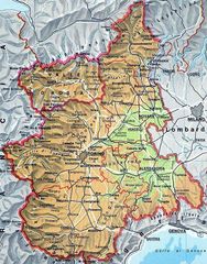
Piedmont Pysical Map
587 x 730 - 78,528k - jpg
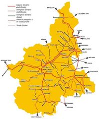
Piedmont Transport Map
978 x 1177 - 96,880k - jpg
Political Map of Piedmont
885 x 795 - 88,375k - jpg
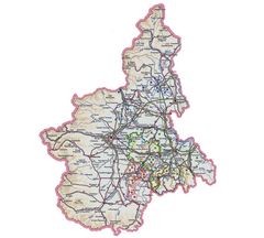
Political Map Piedmont
1020 x 1303 - 320,932k - jpg
Pysical Map of Piedmont
850 x 1134 - 181,669k - jpg
Pysical Map Piedmont
650 x 829 - 187,374k - jpg
Transport Map Piedmont
622 x 750 - 50,486k - jpg