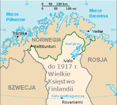
Finnmark Municipalities
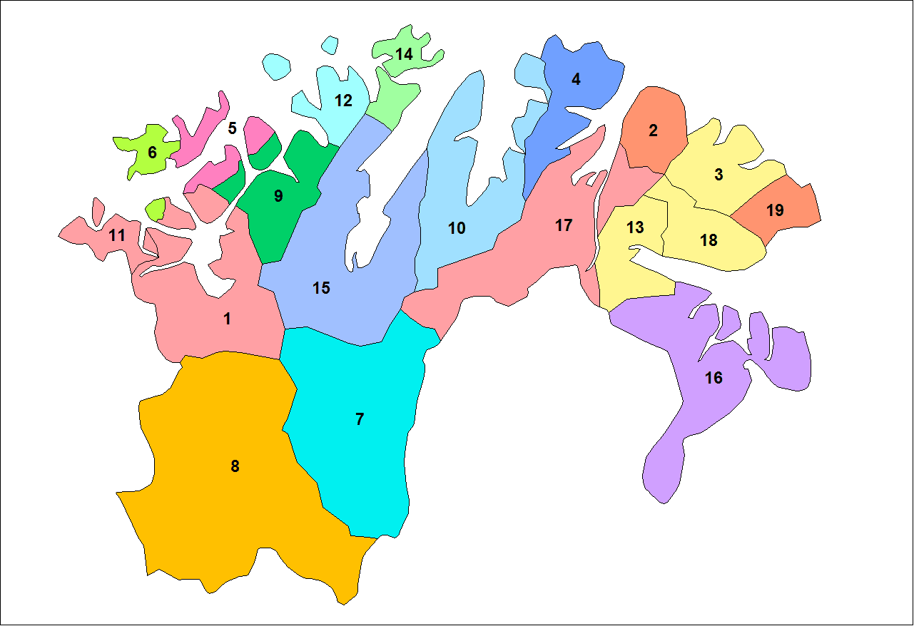
Click on the Finnmark Municipalities to view it full screen. File Type: png, File size: 18689 bytes (18.25 KB), Map Dimensions: 1281px x 878px (256 colors)
More Kingdom of Norway Static Maps
000 Norvegjia Harta
324 x 419 - 10,356k - png
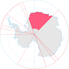
Antarctica, Norway Territorial Claim
920 x 920 - 33,219k - png
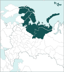
Barents Region 1
244 x 273 - 9,662k - png
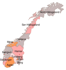
Dioceses Church of Norway
912 x 976 - 37,960k - png
Europe Location Nor
1200 x 900 - 242,511k - png
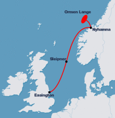
Kart Rorledning Lite
300 x 306 - 22,669k - gif
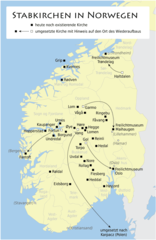
Karte Der Stabkirchen In Norwegen
688 x 1059 - 52,181k - png
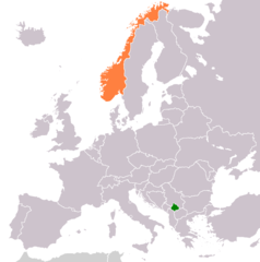
Kosovo Norway Locator 1
1236 x 1245 - 28,848k - png
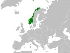
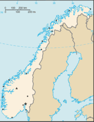
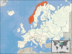
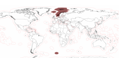
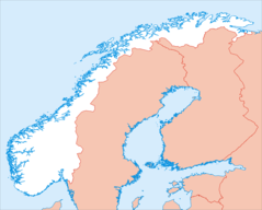
Location Norway
920 x 704 - 39,087k - png
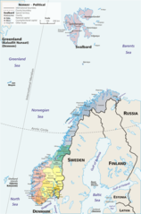
Map Norway Political Geo
1200 x 1814 - 270,851k - png
Noorwegen Provincies
485 x 520 - 10,367k - png
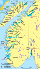
Norge Fjorder1
993 x 1683 - 67,502k - png
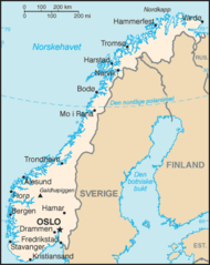
Norgeskart
330 x 415 - 16,533k - png
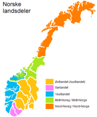
Norske Landsdeler H
393 x 473 - 6,379k - png
Norway Exclusive Economic Zones
2410 x 1178 - 78,832k - png
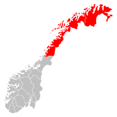
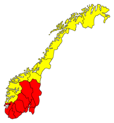
Norway Regions Nord Norge Position
920 x 920 - 23,470k - png
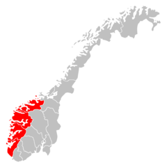
Norway Regions Vestlandet Position
920 x 920 - 23,848k - png
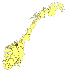
Norway Counties Trollheimen
514 x 550 - 12,786k - png
Norway Counties Blank
920 x 920 - 24,623k - png
Norway Counties Pultryrestrictions
912 x 976 - 33,444k - png
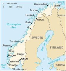
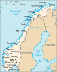
Norway Map
351 x 377 - 22,535k - jpg

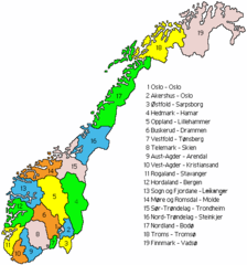
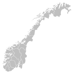
Norway Municipalities
874 x 1025 - 24,491k - png
Norway Equidist
3235 x 2601 - 111,577k - png
Norway Map 1
330 x 415 - 15,912k - png
Norway Hynor Hydrogen Highway
433 x 456 - 49,390k - jpg
Norwayregions
393 x 473 - 5,623k - png
Orthographic Projection Over Kirkenes Norway
488 x 487 - 19,764k - png
Pl Russenorsk
328 x 294 - 9,764k - png
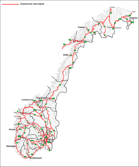
Stamvegnett Pr 2002
2556 x 3082 - 185,564k - png
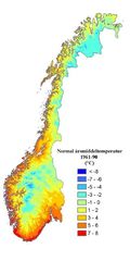
Temp Normal Norway
400 x 800 - 31,087k - jpg