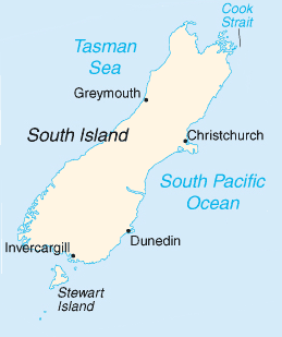
More New Zealand Static Maps
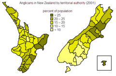
Anglicans In Nz
574 x 376 - 9,741k - png
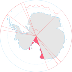
Antarctica, New Zealand Territorial Claim
920 x 920 - 33,662k - png
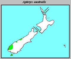
Apteryx Australis Distribution
409 x 339 - 16,498k - jpg
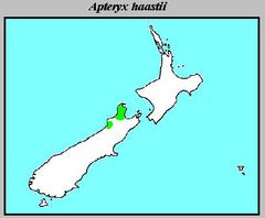
Apteryx Haastii Distribution
409 x 337 - 15,619k - jpg
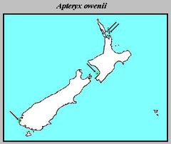
Apteryx Owenii Distribution
409 x 344 - 15,765k - jpg
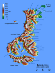
Auckland Islands Topo
950 x 1264 - 228,322k - png
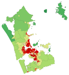
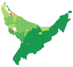
Aucklandregionpopulationdensity
781 x 848 - 33,712k - png
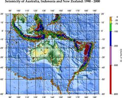
Ausseis 1
556 x 449 - 89,173k - jpg
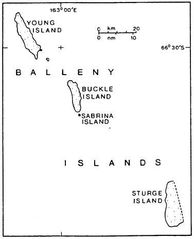
Balleny Map
377 x 465 - 17,877k - jpg
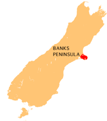
Banks Peninsula Map
440 x 497 - 9,292k - png
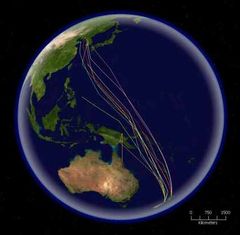
Bar Tailed Godwit Migration 1
416 x 408 - 31,685k - jpg
Bayofplentyregionpopulationdensity
1236 x 1135 - 31,154k - png
Carte Auckland Region Fr
908 x 1010 - 346,342k - png
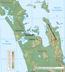
Carte Auckland Region
722 x 802 - 226,120k - png
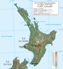
Carte Ile Du Nord Nz
823 x 911 - 171,770k - png
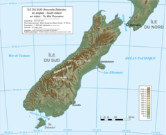
Carte Ile Du Sud Nz
1114 x 910 - 218,905k - png
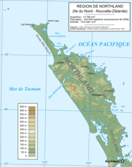
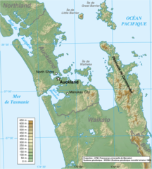
Carte Physique Northland
756 x 957 - 71,439k - png
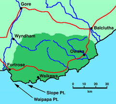
Catlinsmap
635 x 567 - 87,238k - jpg
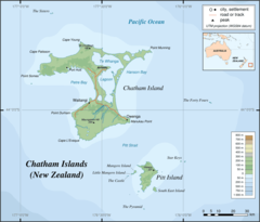
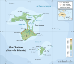
Chatham Islands Map Topo En
920 x 786 - 39,281k - png
Chatham Islands Map Topo Fr
920 x 786 - 41,566k - png
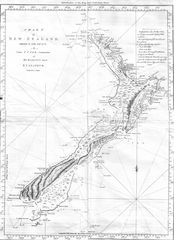
Cook Chart of New Zealand
1093 x 1508 - 307,926k - jpg
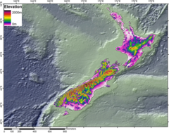
Dem Newzealand
950 x 750 - 331,931k - png
Dnnz Motorways
482 x 452 - 69,443k - jpg
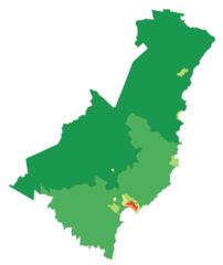
Gisborneregionpopulationdensity
837 x 994 - 15,585k - png
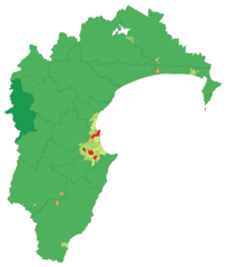
Hawkesbayregionpopulationdensity
1061 x 1250 - 31,123k - png
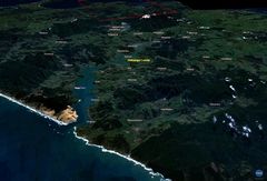
Hokianga
1152 x 784 - 131,834k - jpg
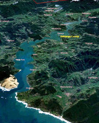
Hokiangalitesml
510 x 634 - 290,510k - jpg
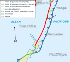
Kermadec Plate Map Fr
497 x 441 - 21,650k - png
Locmap Tongariro National Park2
800 x 590 - 5,555k - png
Manawatuwanganuiregionpopulationdensity
1051 x 1587 - 41,068k - png