Moscow 1610
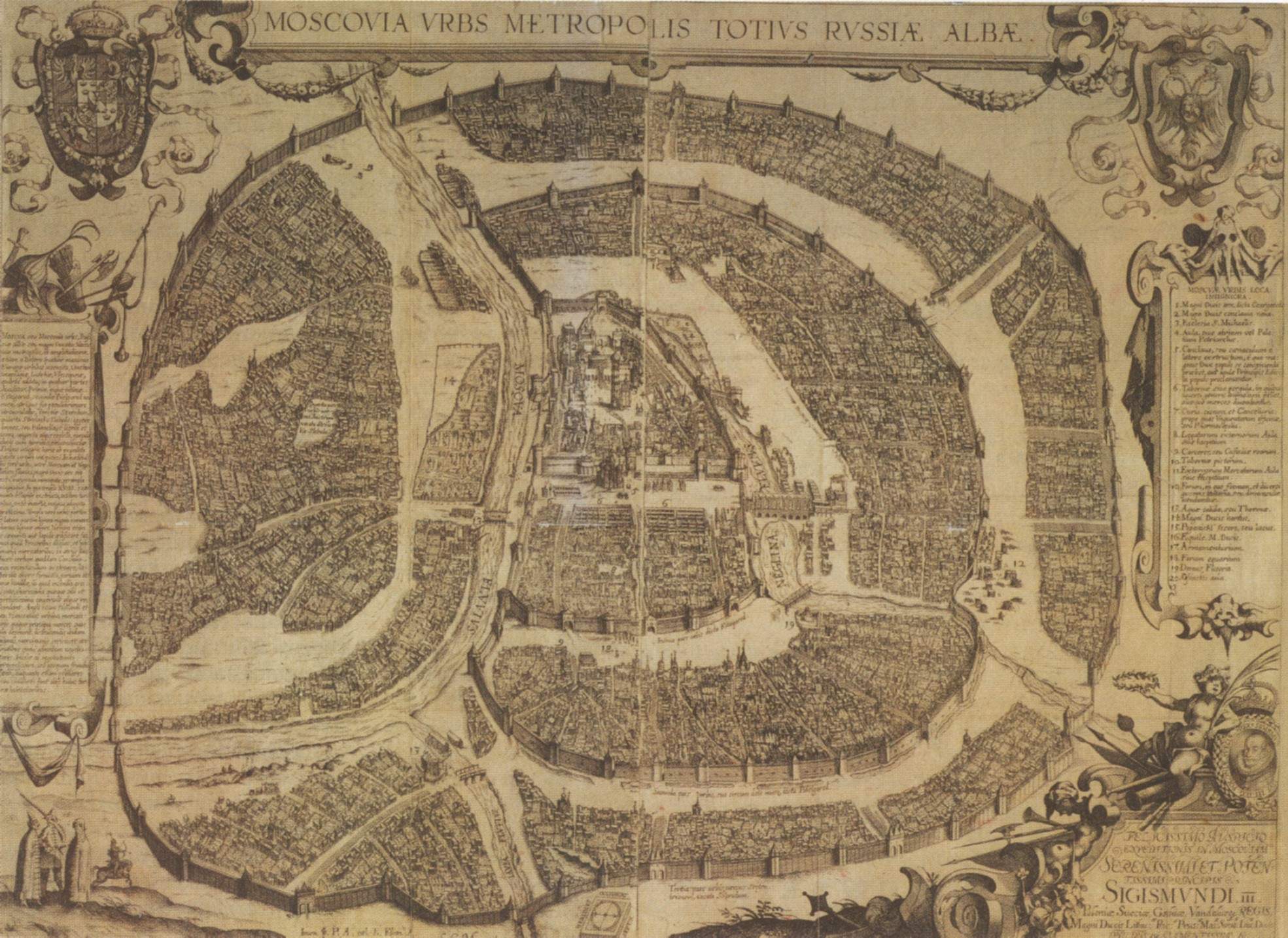
Click on the Moscow 1610 to view it full screen. File Type: jpg, File size: 410595 bytes (400.97 KB), Map Dimensions: 1969px x 1434px (16777216 colors)
More Moscow Static Maps
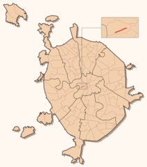
Arbat Location
1000 x 1132 - 60,799k - png
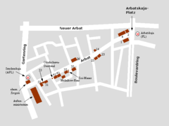
Arbat Map
640 x 480 - 9,240k - png
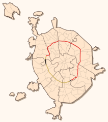
Koltsevaya 3
1000 x 1132 - 52,242k - png
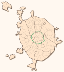
Koltsevaya 4
1000 x 1132 - 52,958k - png
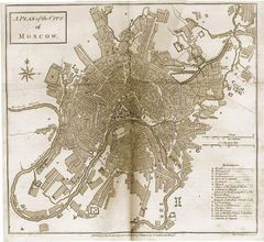
Map of Moscow 1784
600 x 551 - 71,516k - jpg
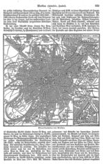
Meyers B11 S0829
800 x 1275 - 350,198k - jpg
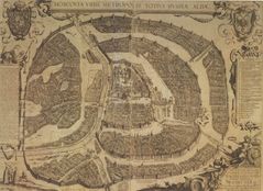
Moscow 1610
1969 x 1434 - 410,595k - jpg
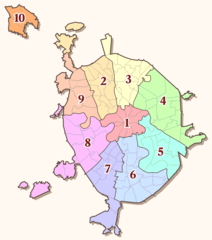
Moscow District Map Thumbnail
400 x 419 - 12,166k - png
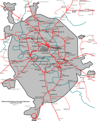
Moscow Railway Map
1418 x 1768 - 95,256k - gif
Moscow Trammap
1000 x 1132 - 57,655k - png
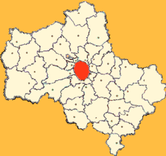
Moscow Oblast Moskva
470 x 443 - 19,325k - png

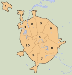
Msk All Districts Abc Eng
906 x 1026 - 41,763k - png
Msk All Districts
906 x 1026 - 42,520k - png
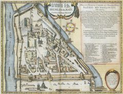
Pl Moscow Kreml Map Xvii Cen
2003 x 1546 - 462,935k - jpg
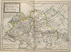
Moscow Historical Map
1148 x 836 - 202,455k - jpg
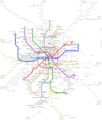
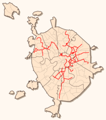
Moscow Metro Map
1400 x 2000 - 97,751k - png