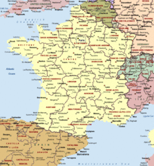
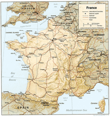
France Political Map
The France political map depicts the various administrative divisions and regions within France, a powerful nation in Western Europe. France has a unitary semi-presidential republic form of government.
Metropolitan France
Metropolitan France refers to the European territory of France, located on the continent of Europe. It contains the vast majority of France's population and political power.
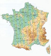
Metropolitan France is divided into 18 administrative regions including Brittany, Normandy, Hauts-de-France, Paris, and more. It contains 96 departments which are the main administrative divisions.
The capital and most populous city is Paris. Other major cities include Marseille, Lyon, Toulouse, and Nice.
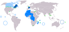
Overseas Regions and Territories
In addition to Metropolitan France, there are five overseas regions that are also part of France: French Guiana, Guadeloupe, Martinique, Mayotte, and Réunion. These regions have the same political status as departments in Metropolitan France.
Additionally, France has control over various overseas collectivities and territories including French Polynesia, Saint Barthélemy, and the French Southern and Antarctic Lands. These have different levels of autonomy and political status.
Government
The government is headed by the President of France, who is elected directly by citizens and holds substantial political powers.
The Parliament of France, located in Paris, is made up of the National Assembly and the Senate. It holds legislative power.
The Prime Minister of France is appointed by the President and heads the Council of Ministers.
In summary, the France political map displays the expansive reach and diverse administrative divisions of this major European country that exerts significant economic, political, and cultural influence globally.

More Republic of France Static Maps
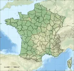
Departements of France
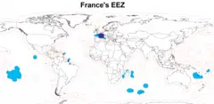
Eez France
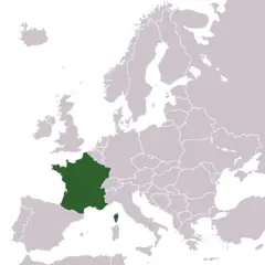
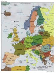
Europe Location France
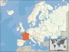
Europe Location of France
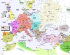
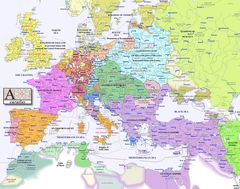
Europe Map 1000
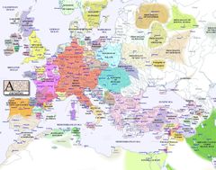
Europe Map 1100
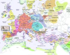
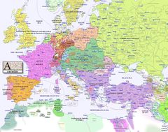
Europe Map 1200
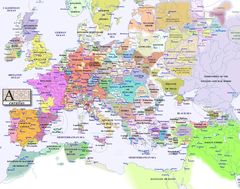
Europe Map 1300
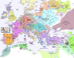
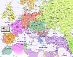
Europe Map 1400
Europe Map 1500
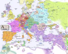
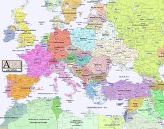
Europe Map 1600
Europe Map 1700
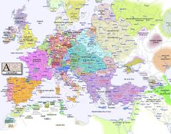
Europe Map 1800
Europe Map 1900
Europe Map 2000

France Admin
France Cities
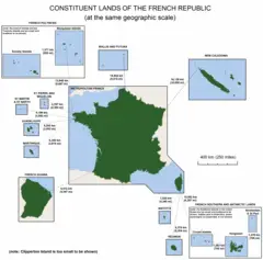
France Constituent Lands
France Map Jpg
France Political Map
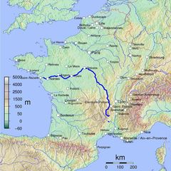
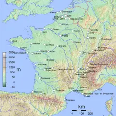
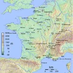
France Shaded Relief Gif
France Sites Unesco
French Network
Location France Eu Europe
Map Europe
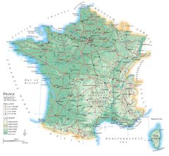
Map France
Map France Departments
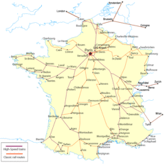
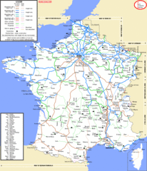
Map France Railroads
Map Francophone World Png