Cities Map of Bihar
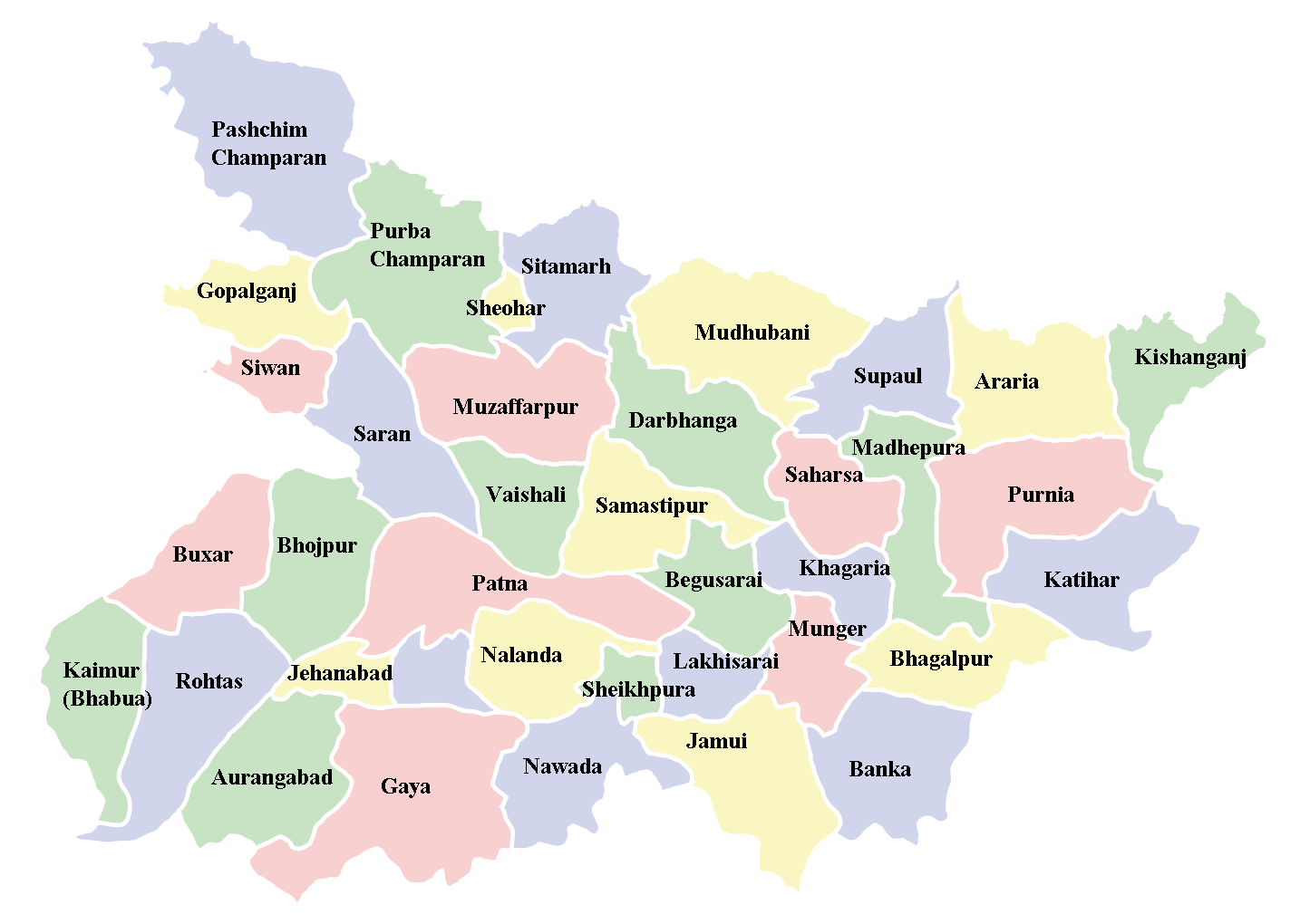
Click on the Cities Map of Bihar to view it full screen. File Type: png, File size: 48993 bytes (47.84 KB), Map Dimensions: 1434px x 1020px (256 colors)
More State of Bihār Static Maps
Cities Map of Bihar
1434 x 1020 - 48,993k - png
Detailed Map of Bihar
800 x 593 - 122,760k - jpg
Historical Map of Tamil Nadu
1263 x 613 - 95,307k - jpg
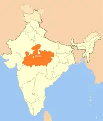
Location Map of Bhopal
1714 x 2000 - 101,690k - png
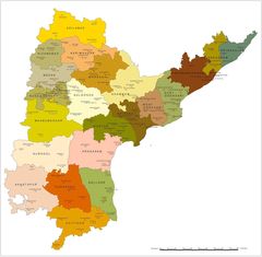
Political Map of Andhra Pradesh
1600 x 1567 - 158,066k - jpg
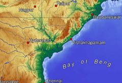
Topographic Map of Andhra Pradesh
1140 x 772 - 130,170k - jpg
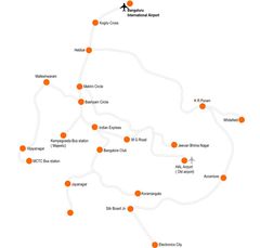
Transport Map Bangalore
900 x 859 - 28,563k - jpg