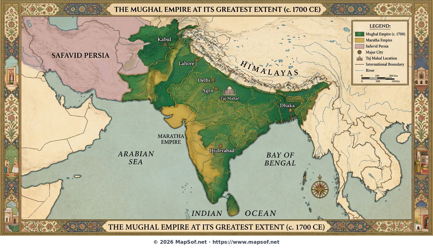
Map of the Mughal Empire at its Greatest Extent 1700 under Aurangzeb
The Mughal Zenith under Aurangzeb
This historical map depicts the Mughal Empire at the zenith of its territorial expansion around the year 1700. Under the rule of Emperor Aurangzeb, the empire stretched across nearly the entire Indian subcontinent, from Kabul in the northwest to the Deccan plateau in the south. The vast territories under Mughal control are highlighted in rich emerald green and gold hues. Key imperial cities and administrative centers, including Delhi, Agra, Lahore, Dhaka, and Hyderabad, are clearly marked, alongside the specific location of the iconic Taj Mahal near Agra.
The map illustrates the complex geopolitical landscape of South Asia at the turn of the 18th century. It visualizes the empire's massive scale just before its long period of decline began. Crucially, the map indicates major neighboring powers that challenged or bordered Mughal dominance, specifically the rising Maratha Confederacy to the south and the Safavid Empire to the west. The entire map is framed by decorative borders reflecting the distinct artistic style of the Mughal era.
More Republic of India Static Maps
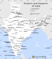
Airports And Seaports Map
Andhra Pradesh Map
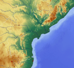
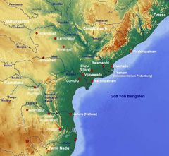
Andhra Pradesh Topographic
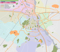
Delhi Area Locator Map
Delhi Location Png
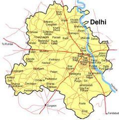
Delhi Map
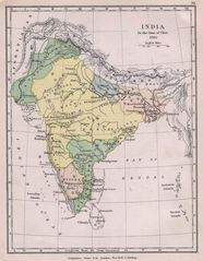
Historical Maps India In 1760
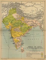
Historical Maps India In 18
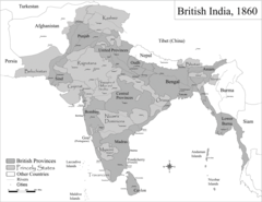
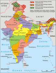
Historic Maps British India
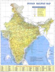
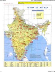
Indian Railways Map
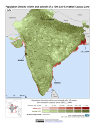
India 10m Lecz And Populati
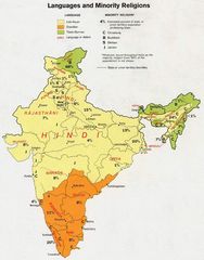
India Languages 1973
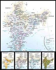
India Map
India Map Bbsr Direct Train Full
India States By Rto Codes
India Topographic
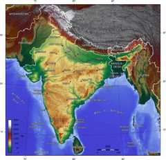
India Topographic Map
Indie 2006
Ind Tou
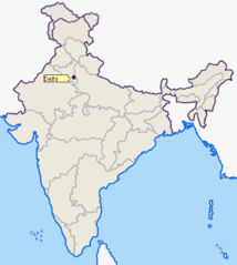
Location of Delhi Png
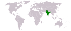
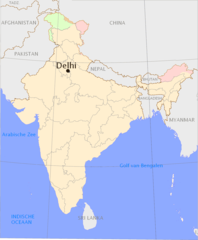
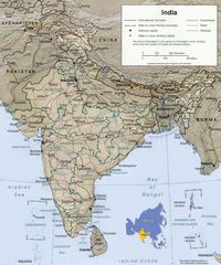
Location of India
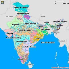
Map of India
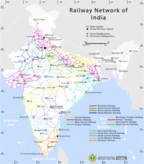
Railway Network Map
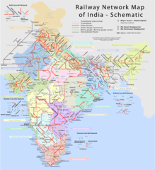
Railway Network Schematic M
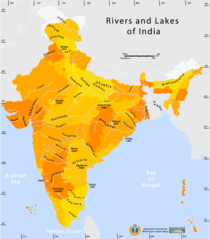
Rivers And Lakes Map of India
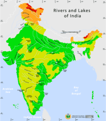
Rivers And Lakes Topo Map of India
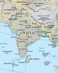
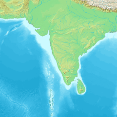
South Asia
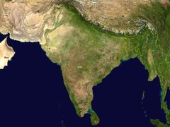
South Asia Satellite
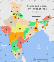
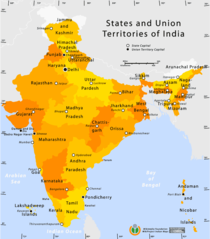
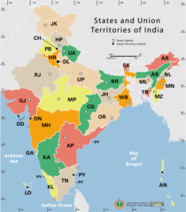
States And Union Territories of India Png