Wales, England
Wales:
About
Quick Facts about Wales
| Population | 5,956 |
| State | England (United Kingdom) |
| County | Rotherham |
| Latitude & Longitude | 53.3406,-1.2816 |
| Time Zone | Europe/London |
| Local time | 06:45:01 (11th June 2026) |
Geography
Wales is located at 53°20'26"N 1°16'54"W (53.3406100, -1.2816200).
Wales map
Click "full screen"  icon to open full mode. View satellite images
Uehl's, Уэльс
Other places with the same name (5)
- Wales, Wisconsin village in Waukesha County, Wisconsin with a population of 2,651 people.
- Wales, Massachusetts town in Massachusetts with a population of 1,862 people.
- Wales, Utah town Sanpete County, Utah, United States with a population of 380 people.
- Wales, Alaska city in Alaska, USA with a population of 149 people.
- Wales, North Dakota city in North Dakota with a population of 30 people.
Map & Images (more maps)
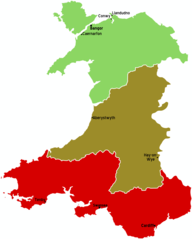
Wales Map
876 x 1091
- 26,960k -
png
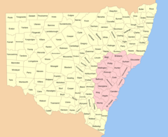
New South Wales Cadastral Divisions
1400 x 1144
- 155,532k -
png
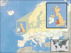
Where Is Wales Located
1600 x 1200
- 276,047k -
png