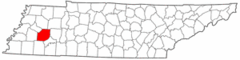
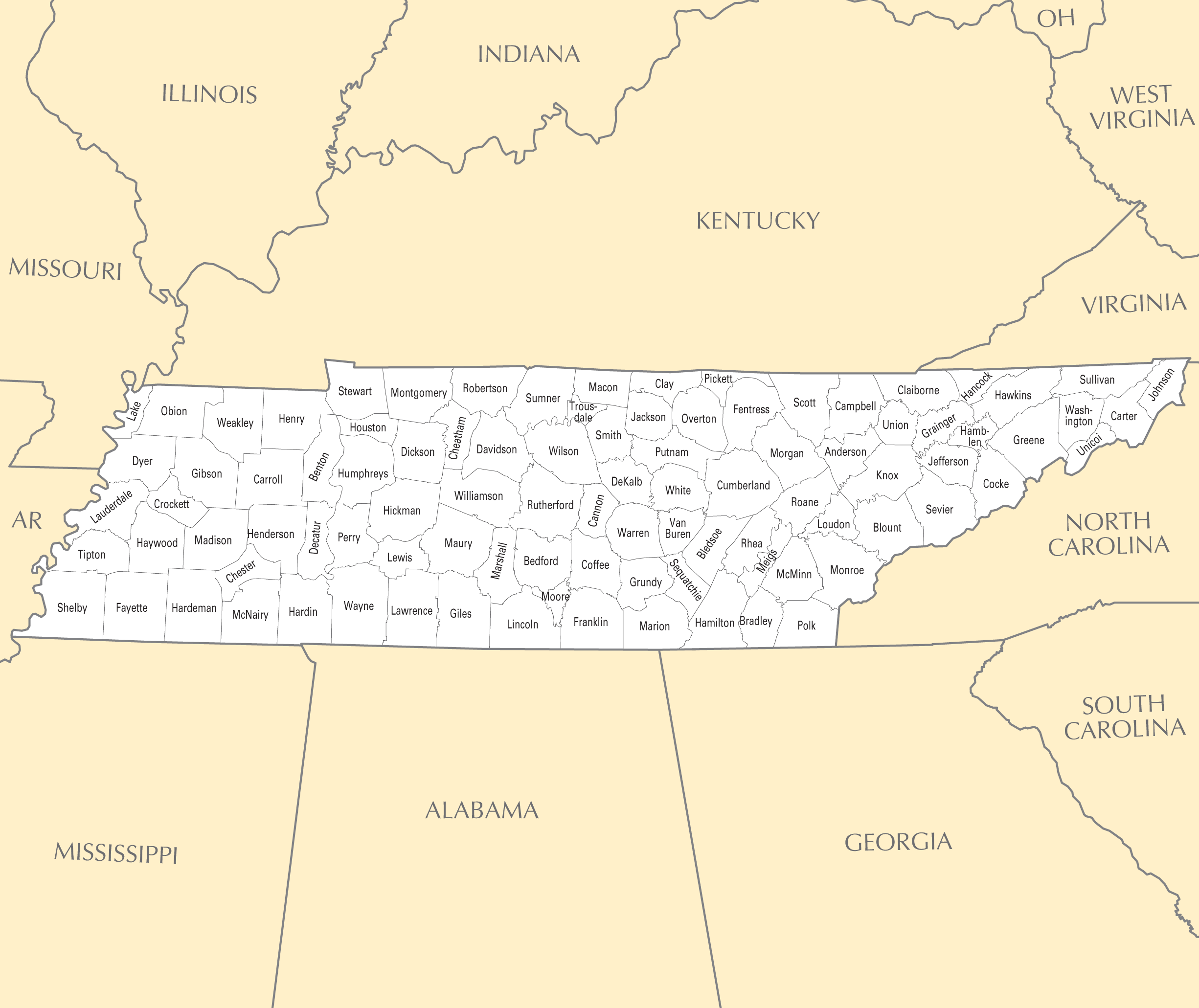
Tennessee County Map
Tennessee is a state located in the southeastern United States. Examining Tennessee's county map provides insight into the state's regional divisions and settlement patterns.
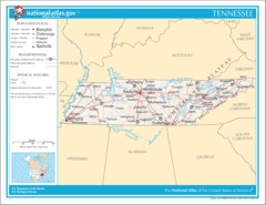
Three Grand Divisions
Tennessee is split into 3 distinct Grand Divisions:
- East Tennessee - Located within the Appalachian Mountains.
- Middle Tennessee - Rolling hills and fertile farmland. Contains state capital Nashville.
- West Tennessee - Flatter terrain bordering the Mississippi River.
Major Cities
Some of Tennessee's most prominent cities include:
- Memphis - Largest city, located along the Mississippi River in the southwest.
- Nashville - State capital and center of the music industry.
- Knoxville - Located in East Tennessee and home to the University of Tennessee.
- Chattanooga - Southeast Tennessee city along the Tennessee River.
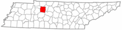
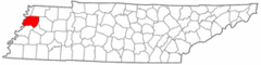
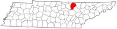
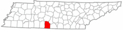
Counties
Tennessee contains 95 counties in total. Shelby County and Davidson County, containing Memphis and Nashville respectively, are the most populous.
Rural counties in East Tennessee tend to be smaller in area and population compared to the large agricultural counties of Middle and West Tennessee.
In summary, Tennessee's county map reflects the state's diverse terrain and settlement patterns within its three distinct grand divisions. Examining the counties provides localized insight into Tennessee's geography and demographics.
More Tennessee Static Maps
Map of Tennessee Na 1
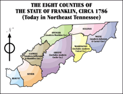
8franklincounties
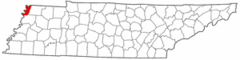
Anderson County Tennessee
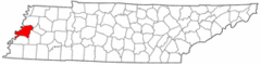
Blount County Tennessee
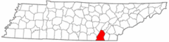
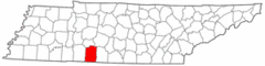
Bradley County Tennessee
Carroll County Tennessee
Clay County Tennessee
Coffee County Tennessee
Cumberland County Tennessee
Decatur County Tennessee
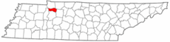
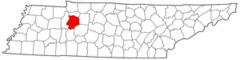
Dickson County Tennessee
Dyer County Tennessee
Fentress County Tennessee
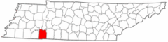
Giles County Tennessee
Grainger County Tennessee
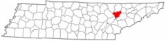
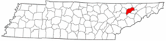
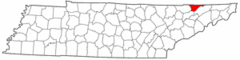
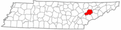
Greene County Tennessee
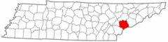
Grundy County Tennessee
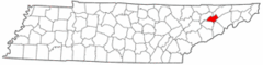
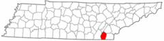
Hamblen County Tennessee
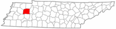
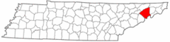
Hamilton County Tennessee
Hancock County Tennessee
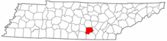
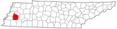
Hardin County Tennessee
Haywood County Tennessee
Houston County Tennessee
Humphreys County Tennessee
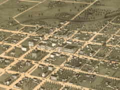
Jackson1870
Knox County Tennessee
Lake County Tennessee
Lauderdale County Tennessee
Lawrence County Tennessee