Rodrigues Island Topographic Map French

Click on the Rodrigues Island Topographic Map French to view it full screen. File Type: png, File size: 242336 bytes (236.66 KB), Map Dimensions: 1700px x 1600px (256 colors)
More Rodrigues Static Maps
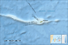
Rodrigues Island Bathymetric Environment Map French
2000 x 1321 - 271,050k - png
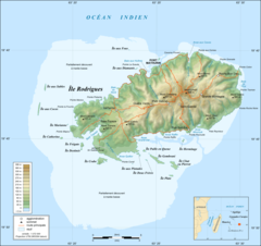
Rodrigues Island Topographic Map French
1700 x 1600 - 242,336k - png