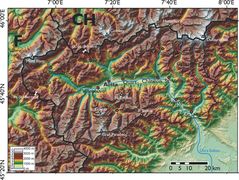
Map of Aosta Valley 2
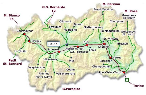
Click on the Map of Aosta Valley 2 to view it full screen. File Type: jpg, File size: 56778 bytes (55.45 KB), Map Dimensions: 619px x 403px (16777216 colors)
More Regione Autonoma Valle d'Aosta Static Maps
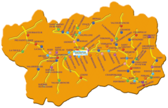
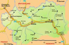
Aosta Valley Map
700 x 431 - 52,299k - png
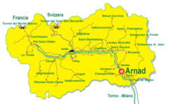
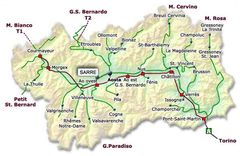
Aosta Valley Map 2
1141 x 735 - 179,364k - png
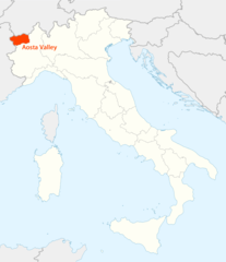
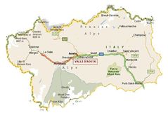
Location of Aosta Valley Map
1338 x 1548 - 99,179k - png
Map of Aosta Valley
600 x 390 - 49,387k - jpg
Map of Aosta Valley 2
619 x 403 - 56,778k - jpg
Map of Aosta Valley 3
690 x 473 - 50,851k - jpg
Map of Aosta Valley 4
764 x 534 - 162,028k - jpg
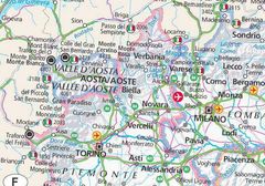
Physical Map Aosta Valley
2000 x 1505 - 629,343k - jpg