State of Rajasthan (State of Rājasthān), Rajasthan
State of Rajasthan: largest state in India
About
State Snapshot
State of Rājasthān at a glance
State of Rājasthān currently has 116 quality-checked populated place pages and 7 county pages linked on MapSof.
Mapped cities & towns
116
These counts use a stricter populated-place filter so the main lists stay focused on real city and town pages.
County pages
7
Open related pagesLargest city
JaipurPopulation 2,711,758
Top linked places
Quick Facts about State of Rājasthān
| Country | India |
| State | Rajasthan (India) |
| Different from | Rajasthan |
| Area | 342269 km2 |
| Official name | રાજસ્થાન, राजस्थान |
| Has part | Jalore |
| Continent | Asia |
| Latitude & Longitude | 26.5833,73.8333 |
| Legislative body | Rajasthan Legislative Assembly |
| Male population | 35550997 |
| Official language | Hindi |
| Female population | 32997440 |
| Capital | Jaipur |
| Time Zone | Asia/Kolkata |
| Local time | 03:16:30 (25th July 2026) |
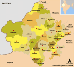
Geography
State of Rājasthān is located at 26°34'60"N 73°49'60"E (26.5833300, 73.8333300).
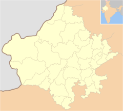
State of Rajasthan map
The largest city of State of Rājasthān is Jodhpur with a population of 921,476. Other cities include, Kota population 763,088, Udaipur population 422,784, Bhīlwāra population 326,431 and Bharatpur population 229,384. See all State of Rājasthān cities & populated places.
Official website of State of Rājasthān
Official Website- Ajmer division
- Jodhpur division
- Bikaner division
- Kota division
- Jaipur division
- Udaipur division
- Bharatpur division
Map & Images (more maps)
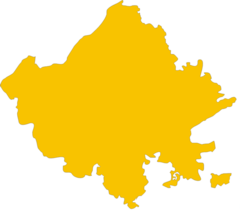
Blank Map of Rajasthan
Cities Blank Map of Rajasthan
Cities Map of Rajasthan
Detailed Map of Rajasthan
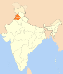
Location Map of Punjab
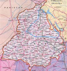
Map of Punjab
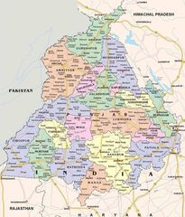
Political Map of Punjab
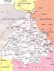
Punjab Political Map
Topographic Map of Mumbai
Tourist Map of Kolkata