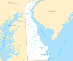
Map of Delaware Na 1

Click on the Map of Delaware Na 1 to view it full screen. File Type: png, File size: 93692 bytes (91.5 KB), Map Dimensions: 1200px x 927px (256 colors)
More Delaware Static Maps
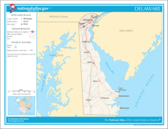
Map of Delaware Na 1
1200 x 927 - 93,692k - png
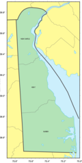
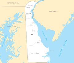
Counties Map of Delaware
666 x 1322 - 37,722k - png
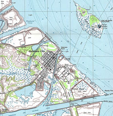
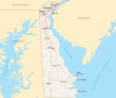
Delaware City Map
1225 x 1267 - 532,089k - jpg
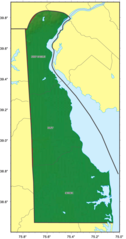
Delaware Relief Map
686 x 1300 - 98,837k - png
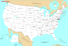
Where Is Delaware Located
1476 x 1002 - 135,989k - png
Delaware Cities And Towns
2451 x 2070 - 126,151k - PNG
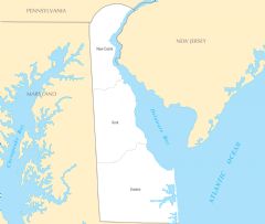
Delaware County Map
2445 x 2064 - 120,281k - PNG
Delaware Reference Map
2454 x 2061 - 354,110k - PNG
Delaware Rivers And Lakes
2460 x 2073 - 157,276k - PNG
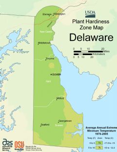
Delaware Plant Hardiness Zone Map
2216 x 2880 - 153,778k - PNG