French Guiana Shaded Relief Map 1992
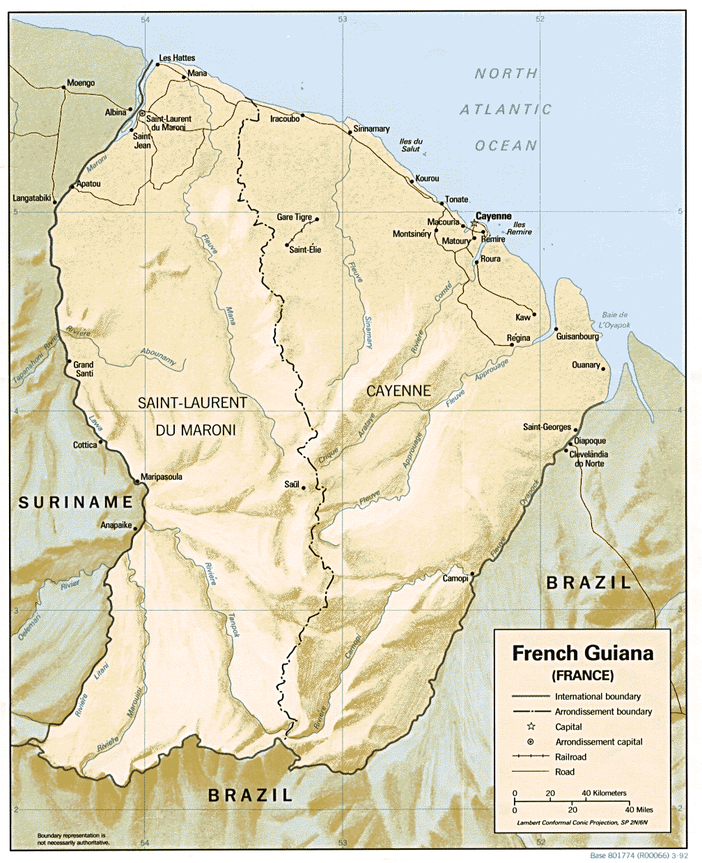
Click on the French Guiana Shaded Relief Map 1992 to view it full screen. File Type: gif, File size: 277943 bytes (271.43 KB), Map Dimensions: 1008px x 1238px (16 colors)
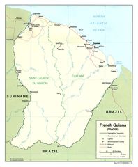
More Guyane Static Maps
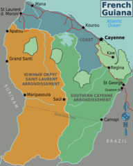
French Guyana
804 x 1000 - 63,672k - png
French Guiana Shaded Relief Map 1992
1008 x 1238 - 277,943k - gif
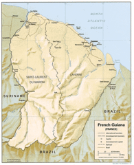
French Guiana Political 1992
1060 x 1284 - 149,712k - jpg