More Guyane Static Maps
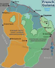
French Guyana
804 x 1000 - 63,672k - png
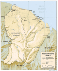
French Guiana Shaded Relief Map 1992
1008 x 1238 - 277,943k - gif
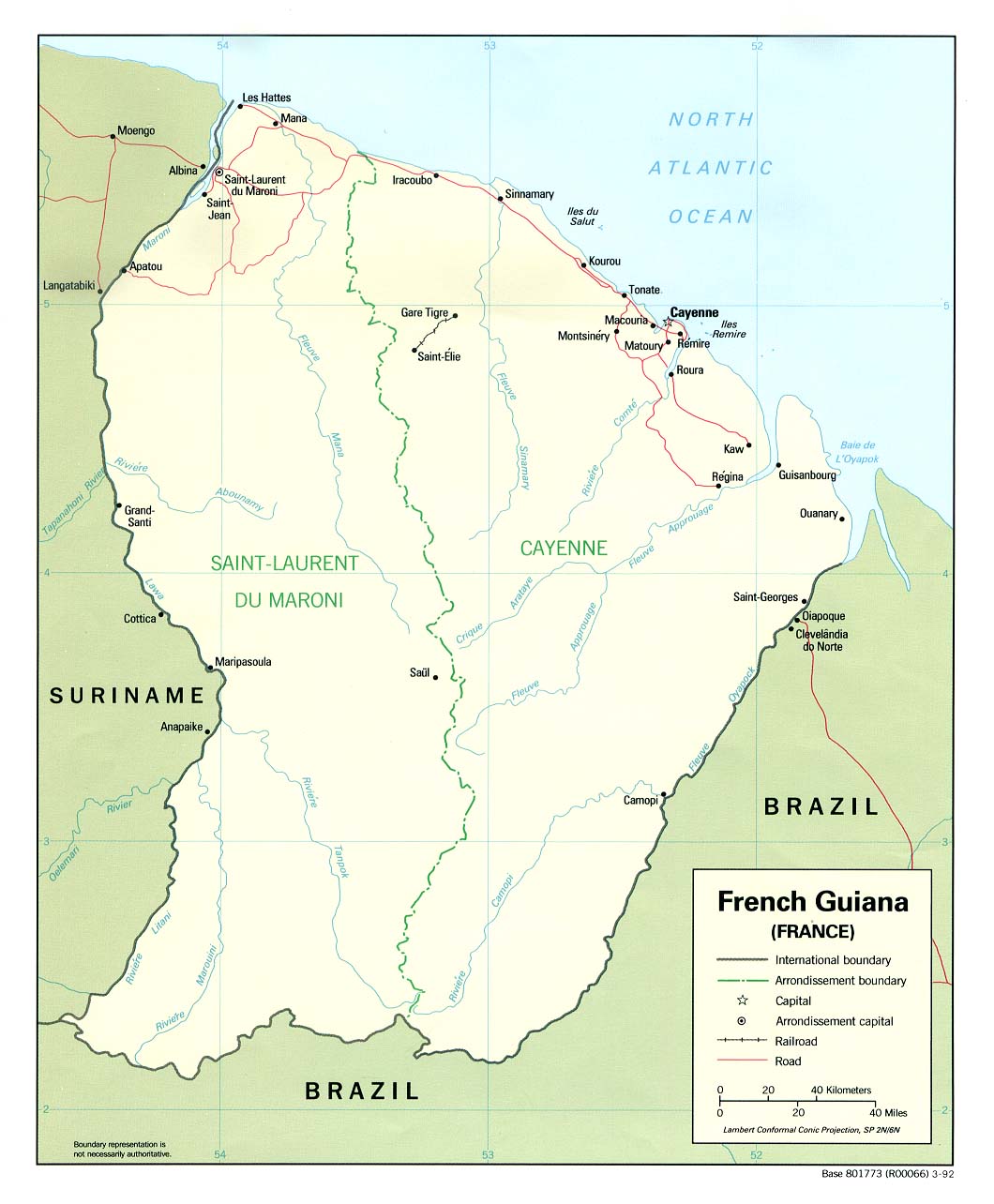
French Guiana Political 1992
1060 x 1284 - 149,712k - jpg