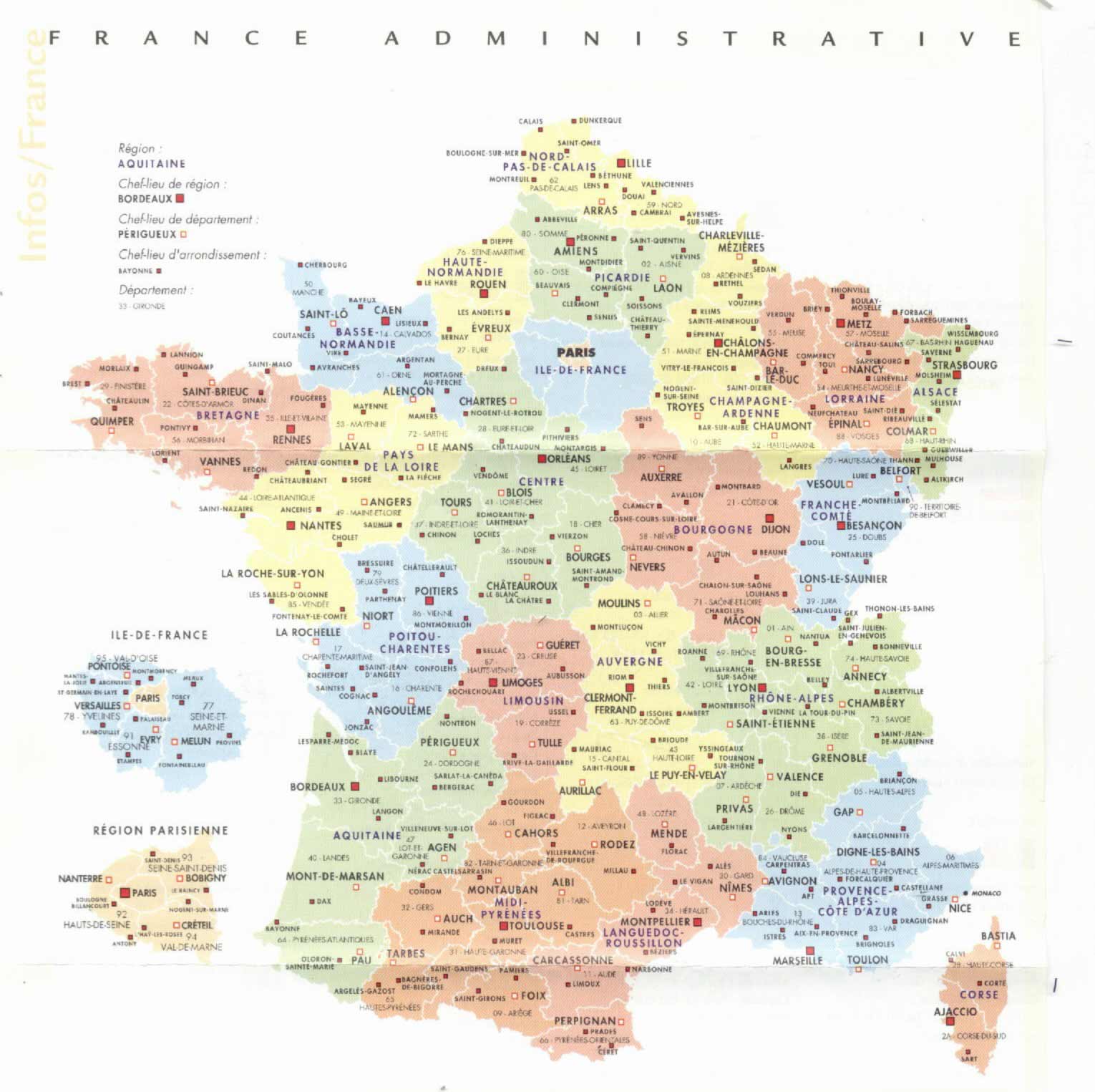
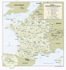
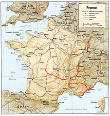
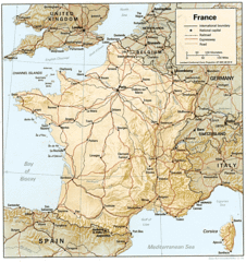
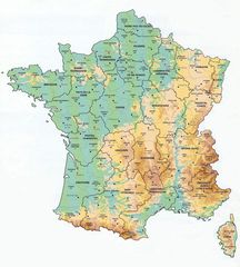
France Administrative Divisions
France utilizes a complex system of administrative divisions to organize and govern its expansive territory. Understanding these divisions provides insight into France's geographical landscape.
Regions
The largest administrative units within France are the 18 regions including Nouvelle-Aquitaine, Occitanie, and Corsica. The regions have elected councils but wield limited political power.
Departments
Each region of France is divided into departments, of which there are 96 in Metropolitan France and 5 overseas. The departments are the primary administrative divisions.
Some notable departments are Paris, Nord, Bouches-du-Rhône, and Rhône. Each department has a prefecture, sub-prefectures, and a department council elected by citizens.
Arrondissements
The departments are further divided into 342 smaller units known as arrondissements. Paris, Lyon, and Marseille have special status as cities divided into municipal arrondissements.
Communes
The commune is the lowest level administrative division in France. There are over 35,000 communes in the country. Even the smallest villages are designated as communes.
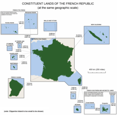
Overseas Territories
In addition to the regions of Metropolitan France, there are five overseas regions with equivalent status. France also has overseas collectivities, territories, and dependencies with various levels of autonomy.
In summary, France utilizes a robust hierarchy of subnational administration. The regions, departments, arrondissements, and communes allow France to govern its expansive and diverse territory effectively. Understanding this complex system provides insights into French geography and politics.
More Republic of France Static Maps
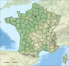
Departements of France
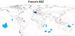
Eez France
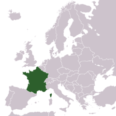
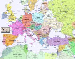
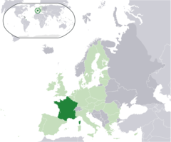
Europe Location France
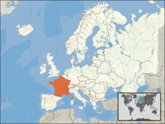
Europe Location of France
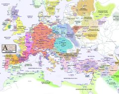
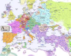
Europe Map 1000
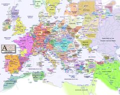
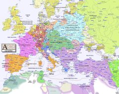
Europe Map 1100
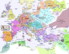
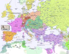
Europe Map 1200
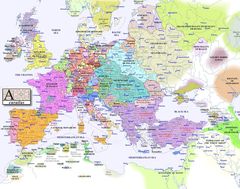
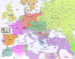
Europe Map 1300
Europe Map 1400
Europe Map 1500
Europe Map 1600
Europe Map 1700
Europe Map 1800
Europe Map 1900
Europe Map 2000
France Admin
France Cities
France Constituent Lands
France Map Jpg
France Political Map
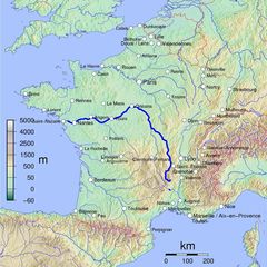
France Shaded Relief Gif
France Sites Unesco
French Network
Location France Eu Europe
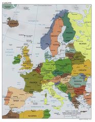
Map Europe
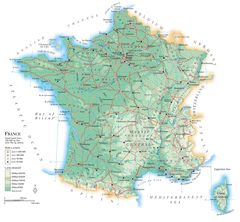
Map France
Map France Departments
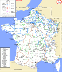
Map France Railroads
Map Francophone World Png