Falkland Islands Map Shaded Relief

Click on the Falkland Islands Map Shaded Relief to view it full screen. File Type: png, File size: 425791 bytes (415.81 KB), Map Dimensions: 1800px x 1405px (256 colors)
More Falkland Islands Static Maps
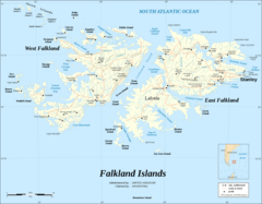
Falkland Islands Map Shaded Relief
1800 x 1405 - 425,791k - png
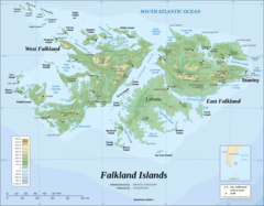
Falkland Islands Topographic Map
1800 x 1405 - 444,374k - png