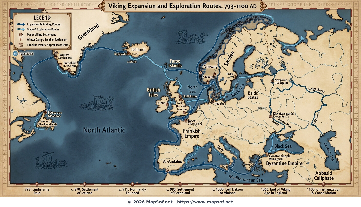
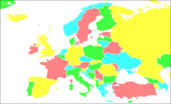
Viking Routes Map: Scandinavia to North America and Constantinople (793-1100)
The Viking Age Expansion
This map visualizes the extensive reach of Norse explorers, warriors, and traders during the Viking Age, roughly spanning from 793 to 1100 AD. Originating from Scandinavia, these routes illustrate a period of remarkable maritime expansion that reshaped the political and cultural landscape of Europe and beyond. The map employs a distinct Norse-inspired design with prominent blue sea lanes tracing their epic journeys.
From Vinland to the Volga
The map details major westward routes across the North Atlantic to the British Isles, Iceland, Greenland, and eventually the temporary settlements in Vinland (North America). Simultaneously, it highlights eastward and southward expansion along European coasts to France and the Mediterranean. Crucially, it also shows the extensive river networks, such as the Volga trade route, which connected Norse traders to Constantinople and the markets of the East.
Settlements and Historical Context
Key Viking settlements established during this era are clearly marked, indicating areas of lasting Norse influence. Integrated timeline markers provide historical context to the various waves of migration, raids, and commercial endeavors shown on the map, offering a comprehensive overview of this dynamic medieval period.
More Europe Static Maps
Ais Manche Est
Aaker Central Europa
Aegeanislands
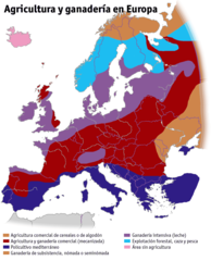
Agricultura Ganaderia Europa
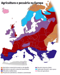
Agricultura Pecuaria Europa Pt
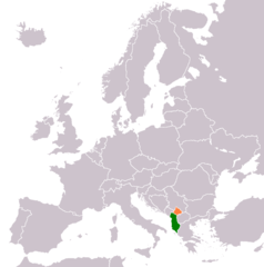
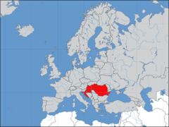
Albania Kosovo Locator
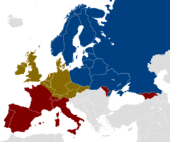
Alcohol Belt
Aprs Benelux
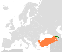
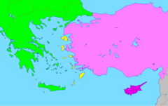
Armenia Turkey Locator
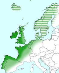
Atlantic Europe
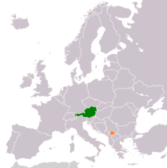
Austria Kosovo Locator
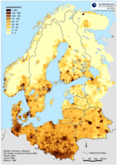
Baltic Pop Density 2
Baptists In Europe
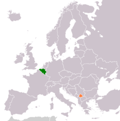
Belgium Kosovo Locator
Blankmap Europe2 Coloured
Blankmap Europe2
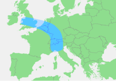
Blaue Banane
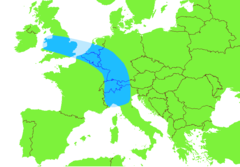
Blue Banana
Bricorstore Location
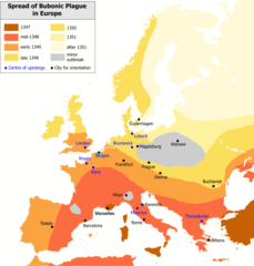
Bubonic Plague Map 2
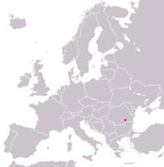
Bucarest In Europe Map
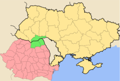
Bucovina Romania Ukraine
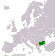
Bulgaria Kosovo Locator
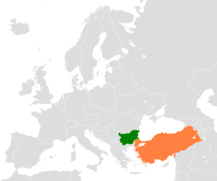
Bulgaria Turkey Locator
Cia Western Europe Map
Cia Western Europe Map2
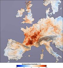
Canicule Europe 2003
Cannabis Use Among Adults (aged 15 64)
Carte Continent Europe