Ancient Egypt Kingdoms Map: Nile Valley, Cities, Pyramids & Trade Routes
Geography of the Nile Valley civilization
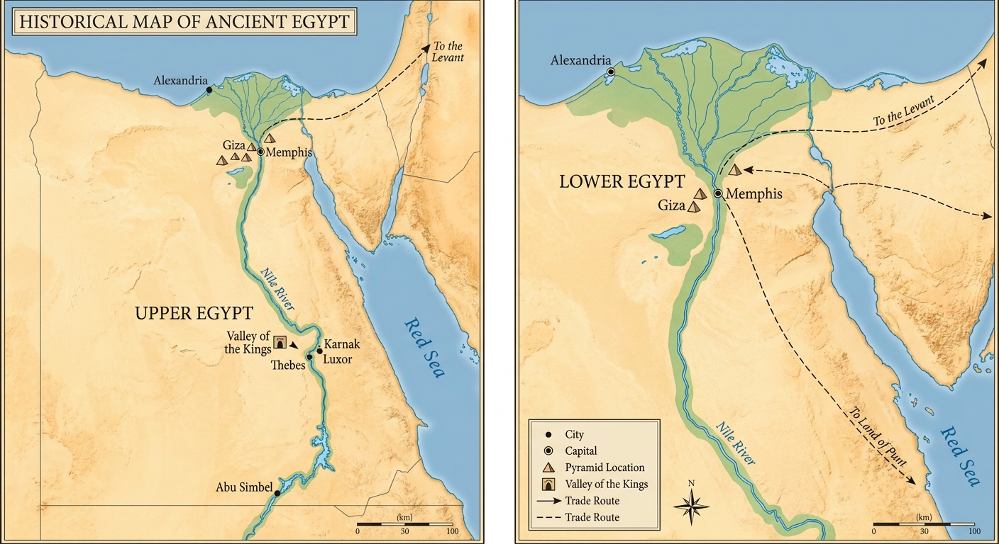
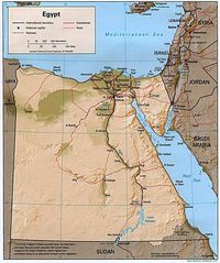
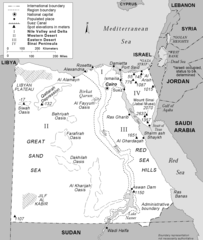
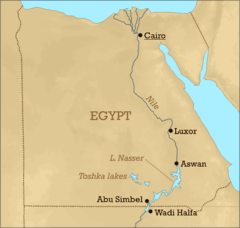
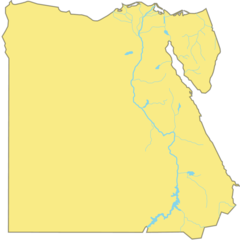
This historical map provides a visual overview of Ancient Egypt, emphasizing the civilization's heavy reliance on the Nile River. Rendered in classic sandy desert tones with the Nile standing out in blue, the map clearly delineates the critical geographical split between the expansive Nile Delta in the north (Lower Egypt) and the long, narrow Nile Valley in the south (Upper Egypt). This natural division was central to the kingdom's political history and cultural identity.
Major Cities and Sacred Monuments
The map locates key urban centers that drove ancient Egyptian history. Vital cities such as Memphis, the ancient capital near the delta head, and religious powerhouses like Thebes (modern-day Luxor) and Karnak are prominently featured. Additionally, iconic mortuary landscapes are marked, including the pyramid fields of Giza, indicated by triangle symbols, and the secluded royal necropolis of the Valley of the Kings.
Regional Connections and Trade
Illustrating that Ancient Egypt was not isolated, the map includes significant ancient trade routes. These pathways show historical connectivity extending beyond the valley, highlighting routes leading northeast into the Levant and southeast toward the legendary trading partner, the land of Punt.
More Arab Republic of Egypt Static Maps
000 Egjipti Harta
288px Nubia Blank 1
At1317 Map 1
Africa Nilemap 01
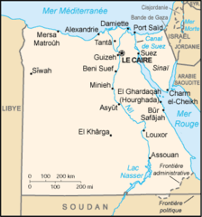
Eg Map
Egypt Karnak Test
Egypt Map
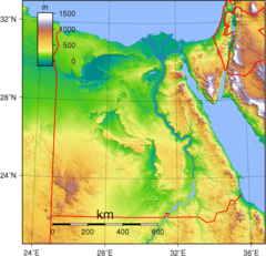
Egypt Topography
Egypt Turkey Locator
Egypt Governorates Blank
Egypt Regions And Boundaries
Egypt Terrain Map Cairo Karnak
Egypt Locatormap
Egypte Monastique Couleur
Egypte Carte

Flag Map of Egypt
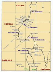
Gd Eg Cataractes Du Nil
Kaart Egipte
Lake Nasser Location
Location Map Egypt
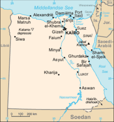
Mapa Egypta
Nubia Spanish 1
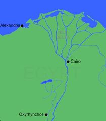
Oxyrhynchos Map
Oxyrhynchos Map 1
Pa1327 Map 1
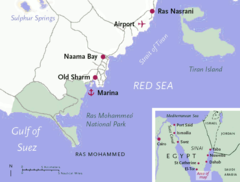
Sharm El Sheikh Map
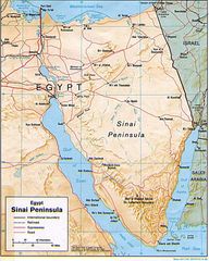
Sinai Peninsula Map
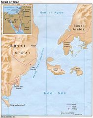
Strait Tiran 83
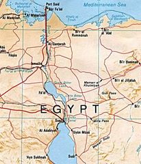
Suez Canal Map