How far is New Orleans, LA from Maryland, LA?
Distance by Flight
Shortest distance between New Orleans and Maryland is 77.37 miles (124.52 km).
Flight distance from New Orleans, LA to Maryland, LA is 77.37 miles. Estimated flight time is 00 hours 10 minutes.
It takes 00 hours 09 minutes to travel from New Orleans to Maryland with an airplane (average speed of 550 miles).
Driving distance
The driving distance from New Orleans, Louisiana to Maryland, Louisiana is: 88.77 miles (142.86 km) by car.
Driving from New Orleans to Maryland will take approximately 01 hours 29 minutes.

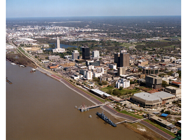
#1 New Orleans
The most populous city in Louisiana and the center of the New Orleans metropolitan area. It is located on the Mississippi River in southeastern Louisiana. New Orleans is known for its French and Spanish colonial influence, its jazz music, and its many attractions, such as the French Quarter and the Mardi Gras celebration.
| Population | 389476 |
|---|---|
| GPS Coordinates | 29°57'17"N 90°4'30"W |
| Latitude | 29.9546500 |
| Longitude | -90.0750700 |
| Altitude | 0 |
| Country | United States |
#2 Maryland
| Population | |
|---|---|
| GPS Coordinates | 30°32'46"N 91°10'33"W |
| Latitude | 30.5460200 |
| Longitude | -91.1759400 |
| Altitude | 21 |
| Country | United States |
Ending point in Maryland: (-91.175936,30.546061)
Estimated Travel Time Between New Orleans and Maryland
The distance between New Orleans and Maryland is 143 km if you choose to drive by road. You can go 01 hours 35 minutes if you drive your car at an average speed of 90 kilometers / hour. For different choices, please review the avg. speed travel time table on the below.
There is no time difference between New Orleans and Maryland. The current time is 03:37:55.
| Average Speed | Travel Time |
|---|---|
| 30 mph (48.3 km/h) | 02 hours 57 minutes |
| 40 mph (64.37 km/h) | 02 hours 13 minutes |
| 50 mph (80.47 km/h) | 01 hours 46 minutes |
| 60 mph (96.56 km/h) | 01 hours 28 minutes |
| 70 mph (112.65 km/h) | 01 hours 16 minutes |
| 75 mph (120.7 km/h) | 01 hours 11 minutes |
| 80 mph (128.75 km/h) | 01 hours 06 minutes |
Gas Consumption
A car with a fuel efficiency of 8.3 l/100 km will need 11.86 liters (3.13 gallon) of gas to cover the route between New Orleans and Maryland.
The estimated cost of gas to go from New Orleans to Maryland is $9.63 (diesel $12.73).
Louisiana gas prices.
| Gasoline | Mid Grade | Premium | Diesel | |
|---|---|---|---|---|
| Gallon | $3.07 | $3.48 | $3.84 | $4.06 |
| Total | $9.63 | $10.91 | $12.04 | $12.73 |
Take a look at our Gas Cost Calculator feature. It will figure out how much it will cost to drive this particular distance.
The average gas price (in Louisiana ) per gallon of daily gas for calculations is $3.073 (Diesel $4.064) /gallon. Last changed prices on March 10, 2026.
How did we calculate the distance?
The place names are translated into coordinates to approximate the distance between New Orleans and Maryland (latitude and longitude). Cities, states, and countries each have their own regional center. The Haversine formula is used to measure the radius.