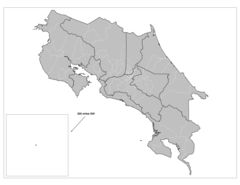
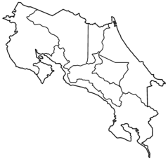
Costa Rica Regions Map
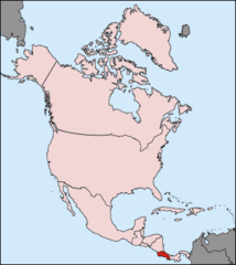
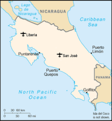
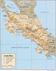
Costa Rica is a Central American country known for its lush rainforests, stunning beaches, and diversity of wildlife. Examining the Costa Rica regions map provides insight into the varied landscapes and administrative divisions of this tropical nation.
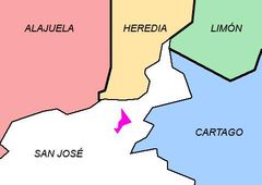
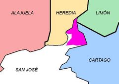
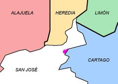
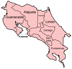
Provinces
Costa Rica is divided into 7 provinces:
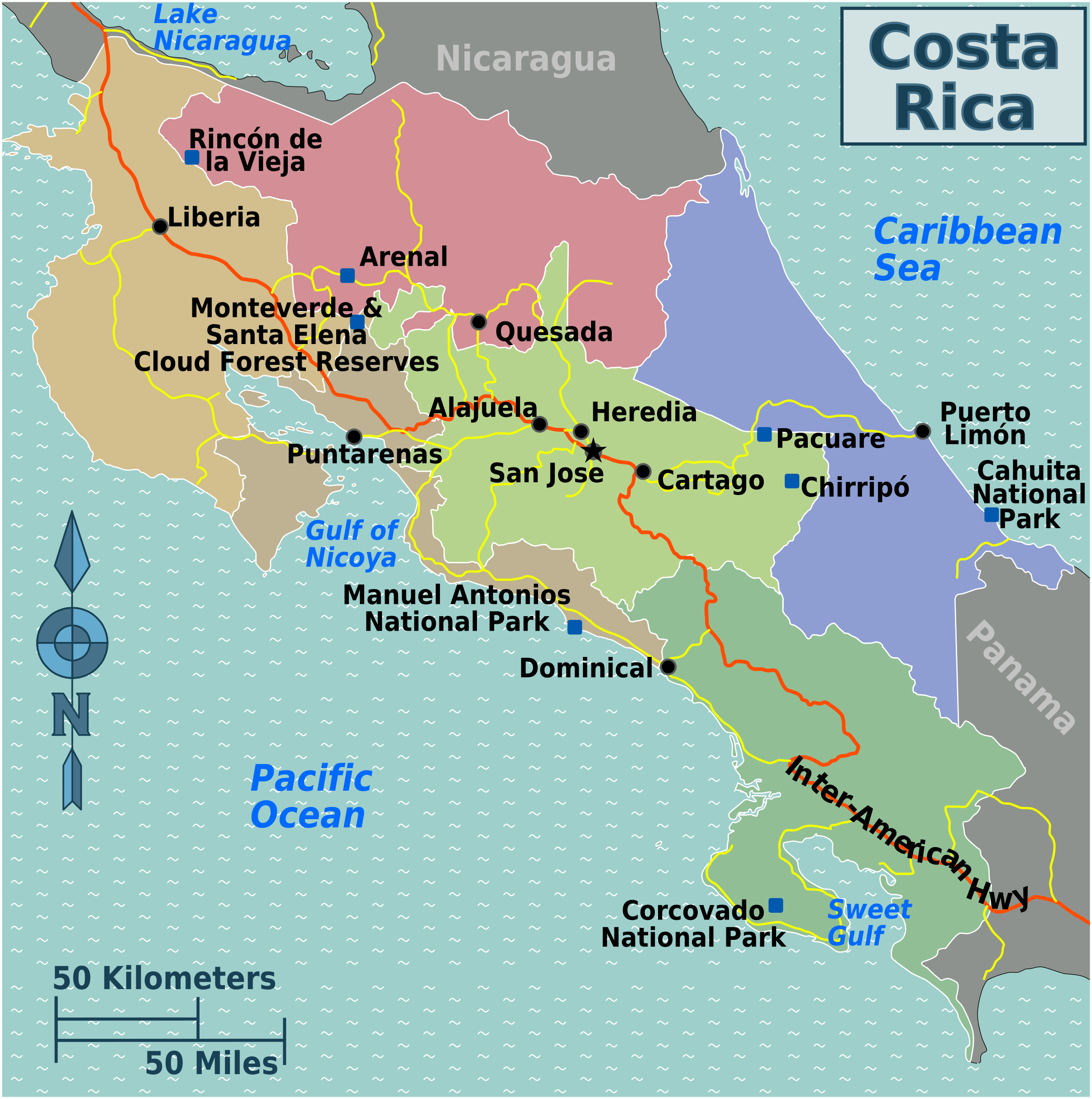
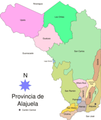
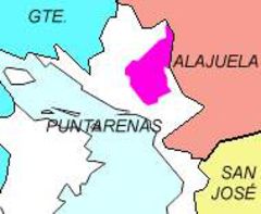
- Alajuela - Northern province home to Arenal Volcano.
- Cartago - East-central province containing the capital city of San José.
- Guanacaste - Province in the Northwest known for sandy beaches.
- Heredia - Small landlocked province north of the capital.
- Limon - Sparsely populated Caribbean coastal province.
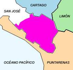
- Puntarenas - Western coastal province on the Pacific.
- San José - Smallest yet most populous province with the capital.
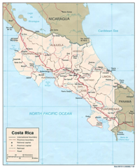
Major Cities
The most prominent cities in Costa Rica include:
- San José - Capital and largest city located in a highland valley.
- Alajuela - Northern city near the airport and volcanoes.
- Heredia - Colonial city north of San José.
- Cartago - East of San José, known for ornate Spanish architecture.
- Puntarenas and Limon - Major coastal port cities.
National Parks
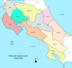
Costa Rica has an extensive system of national parks and reserves that conserve the tropical rainforests and astounding biodiversity. Popular parks include Manuel Antonio, Corcovado, and Tortuguero.
In summary, examining Costa Rica's diverse regions and major geographic features provides a deeper understanding of this ecologically rich country. The provinces, cities, and protected lands each contribute distinct highlights.
More Republic of Costa Rica Static Maps
Alajuela Map1
Areas Conservacion Cr
Cr Airports
Cantonalajuelita
Cantoncoronado
Cantoncurridabat
Cantondesamparados
Cantonescazu
Cantongoicoechea
Cantonmdo
Cantonmontes De Oro
Cantonpz

Cantonsjo
Cantonsanta Ana
Cantontibas
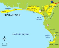
Carte De Puntarenas 3
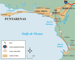
Carte De Puntarenas 3 4
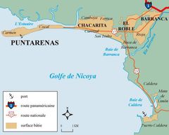
Carte De Puntarenas
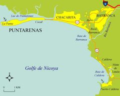
Carte De Puntarenas2
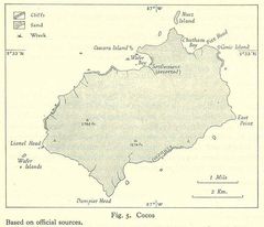
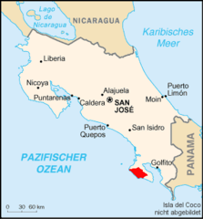
Cocos
Corcovado
Costa Rica Kosovo Locator 1
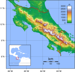
Costa Rica Topography
Costa Rica Cantons

Costa Rica Districts
Costa Rica Map Detail
Costa Rica Map Shaded Relief
Costa Rica Provinces Blank
Costa Rica Provinces Named