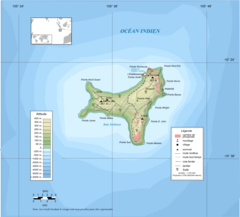
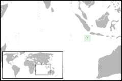
Christmas Island Map

Click on the Christmas Island Map to view it full screen. File Type: png, File size: 170087 bytes (166.1 KB), Map Dimensions: 1200px x 1053px (256 colors)
More Territory of Christmas Island Static Maps
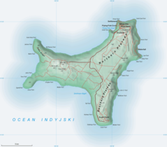
Christmas Island Australia 76 Fr
1462 x 1322 - 127,072k - png
Christmas Island Map
1200 x 1053 - 170,087k - png
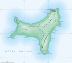
Christmas Island Map2
1200 x 1053 - 214,592k - png
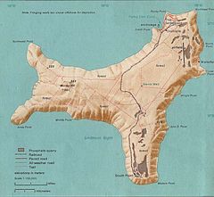
Christmas Island 76
839 x 774 - 131,432k - jpg
Christmasisland
250 x 167 - 5,243k - png