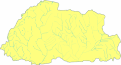
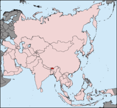
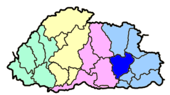
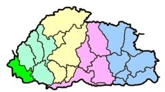
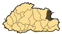
Bhutanpunakha

Click on the Bhutanpunakha to view it full screen. File Type: png, File size: 14370 bytes (14.03 KB), Map Dimensions: 800px x 449px (256 colors)
More Kingdom of Bhutan Static Maps
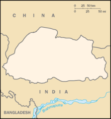
Bhutan Blank Map
920 x 499 - 28,071k - png
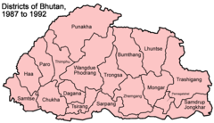
Bhutan Districts 1987 1992
1000 x 576 - 33,659k - png
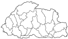
Bhutan Districts Blank
2000 x 1153 - 24,357k - png
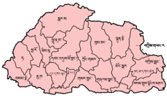
Bhutan Districts Dzongkha
750 x 432 - 27,752k - png
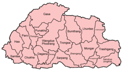
Bhutan Districts English
1000 x 577 - 29,983k - png
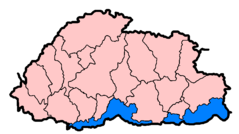
Bhutan Subdivisions Flood Hit Between July 3 And August 15 2007
800 x 449 - 8,596k - png
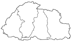
Bhutan Zones Blank
2000 x 1153 - 15,749k - png
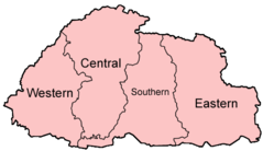
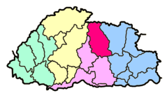
Bhutan Zones English
500 x 289 - 8,735k - png
Bhutan Pos
330 x 302 - 14,327k - png
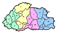
Bhutan Distretti Numerato
800 x 449 - 15,208k - png
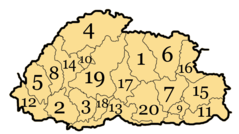
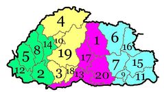
Bhutan Divisions Numbered
800 x 449 - 20,194k - png
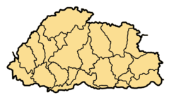
Bhutan Divisions
800 x 449 - 14,145k - png
Bhutan Dzongdey Numbered
800 x 449 - 58,281k - jpg
Bhutan Map Blank
330 x 355 - 5,642k - png
Bhutanbhumthang
800 x 449 - 14,391k - png
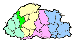
Bhutanchukha
800 x 449 - 14,393k - png
Bhutandagana
800 x 449 - 14,389k - png
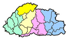
Bhutangasa
800 x 449 - 14,376k - png
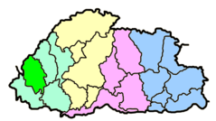
Bhutanhaa
800 x 449 - 14,408k - png
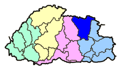
Bhutanlhuntse
800 x 449 - 14,389k - png
Bhutanmongar
800 x 449 - 14,385k - png
Bhutanparo
800 x 449 - 14,427k - png
Bhutanpemagatshel
800 x 449 - 14,379k - png

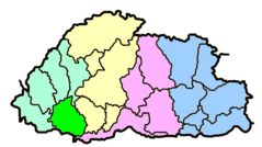
Bhutanpunakha
800 x 449 - 14,370k - png
Bhutansamdrupjongkhar
800 x 449 - 14,381k - png
Bhutansamtse
800 x 449 - 14,383k - png
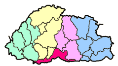
Bhutansarpang
800 x 449 - 14,401k - png
Bhutanthimphu
800 x 449 - 14,412k - png
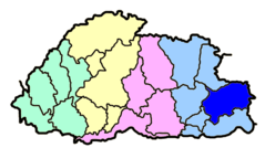
Bhutantrashigang
800 x 449 - 14,412k - png
Bhutantrashiyangste
400 x 225 - 5,836k - png