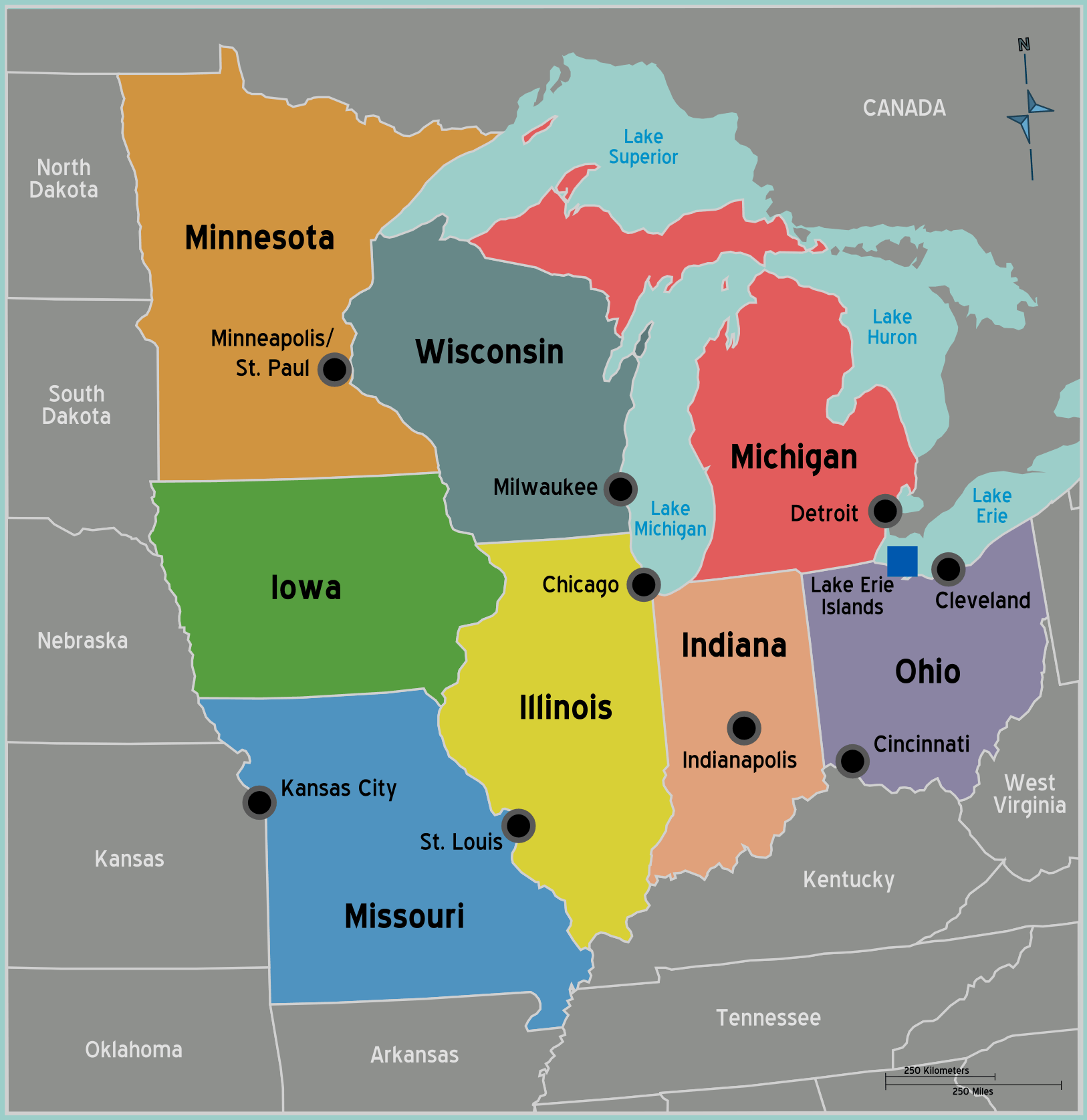
Usa Midwest Map
The Midwest is a region of the United States centered around the Great Lakes.
States
The Midwest includes states like Ohio, Michigan, Indiana, Illinois, Wisconsin, Minnesota, Iowa, Missouri, Kansas, Nebraska, South Dakota, and North Dakota.
The Great Lakes
The Midwest borders the Great Lakes region containing massive lakes like Lake Michigan, Lake Erie, and Lake Superior. Cities like Chicago and Detroit emerged as major ports.
Waterways
Major rivers like the Ohio, Missouri, and Mississippi flow through the Midwest, facilitating trade and transport.
Agriculture
The Midwest contains America's Corn Belt and Wheat Belt with huge expanses of farmland and grain silos.
Manufacturing
The Midwest used to be the heart of U.S. manufacturing centered in cities like Detroit and Cincinnati where steel, cars, and consumer goods were produced.
The Midwest's central location, abundant waterways, and fertile soil supported the development of major port cities, thriving agriculture, and America's industrial dominance.
More United States Static Maps
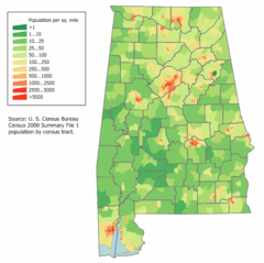
Alabama Population Map
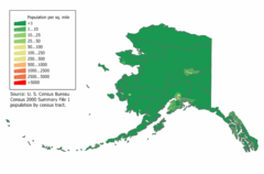
Alaska Population Map
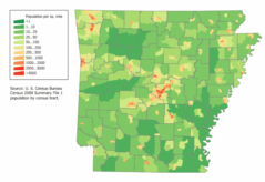
Arkansas Population Map
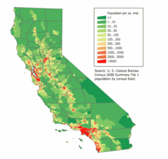
California Population Map
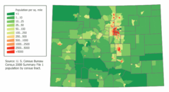
Colorado Population Map
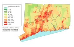
Connecticut Population Map
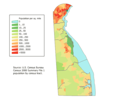
Delaware Population Map
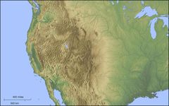
Der Westen Der Vereinigten Staaten
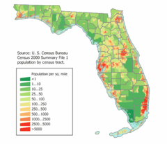
Florida Population Map
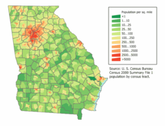
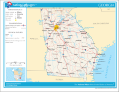
Georgia Population Map
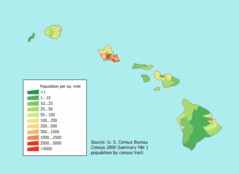
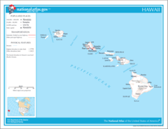
Hawaii Population Map
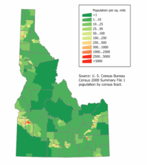
Idaho Population Map
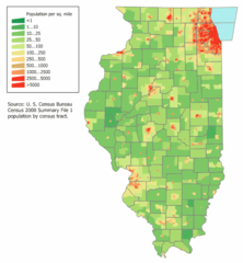
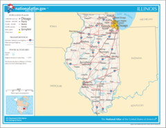
Illinois Population Map
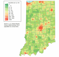
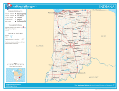
Indiana Population Map
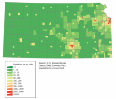
Kansas Population Map
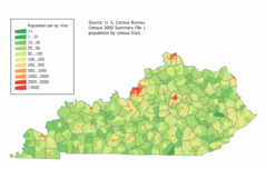
Kentucky Population Map
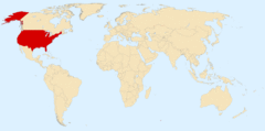
Location Uf Us
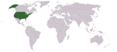
Location Usa
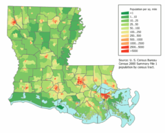
Louisiana Population Map
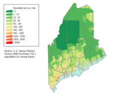
Maine Population Map
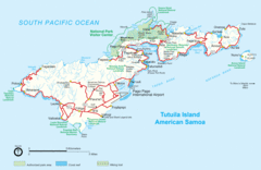
Mapoftutuila American Samoa
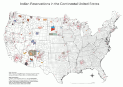
Map Indian Reservations Usa
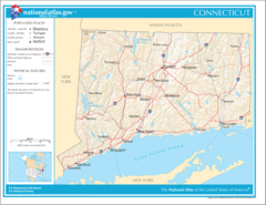
Map of Connecticut Na
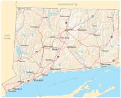
Map of Connecticut Na Cropp
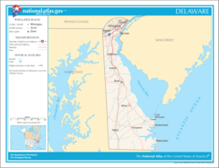
Map of Delaware Na
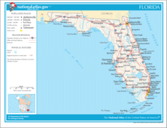
Map of Florida Na
Map of Georgia Na
Map of Hawaii Na
Map of Illinois Na