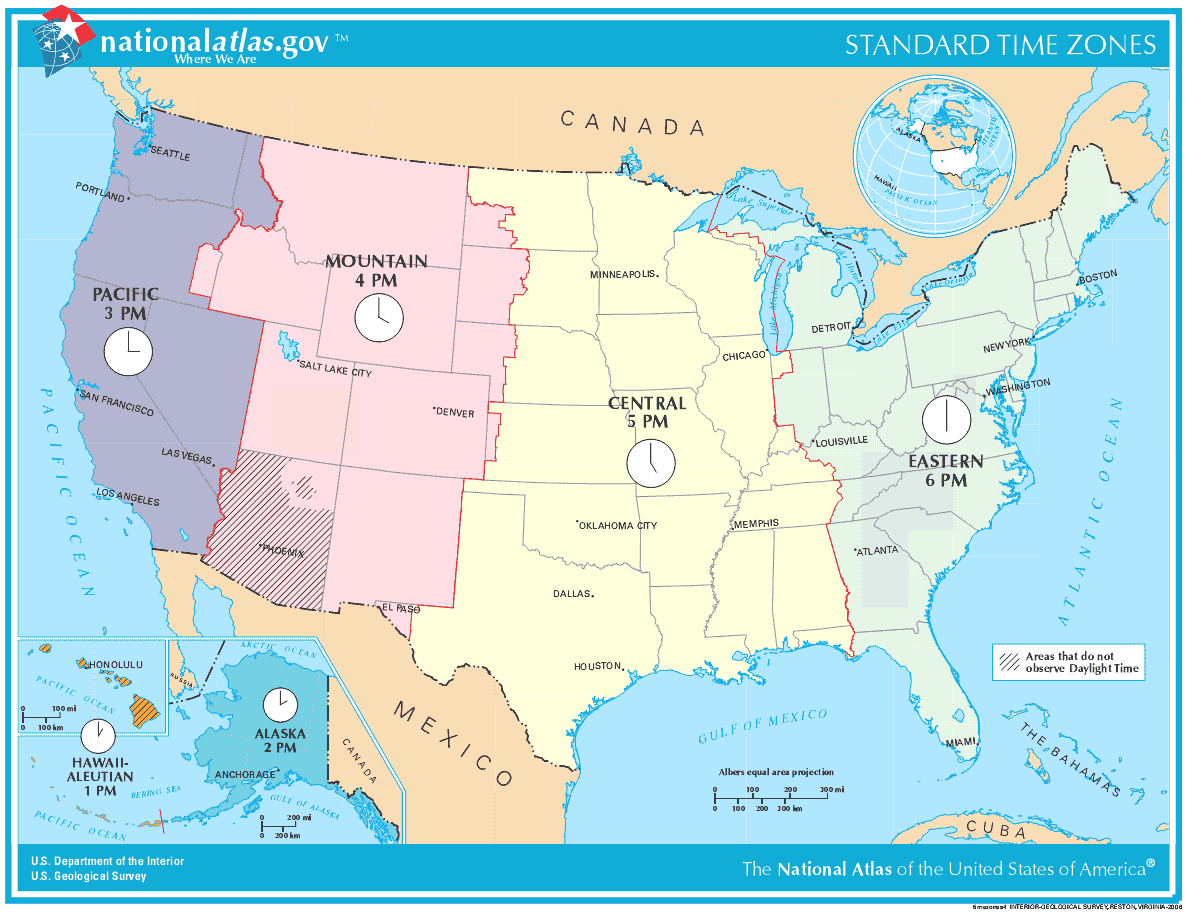
Map of Time Zones Usa
The continental United States spans four major time zones.
Eastern Time Zone
The Eastern Time Zone includes the East Coast and states like Maine, Florida, Ohio, and the Carolinas. It is five hours behind Coordinated Universal Time (UTC).
Central Time Zone
The Central Time Zone covers the Midwest from North Dakota to Louisiana. It is six hours behind UTC.
Mountain Time Zone
The Mountain Time Zone includes states like Montana, Wyoming, Utah, and Arizona. It is seven hours behind UTC.
Pacific Time Zone
The Pacific Time Zone comprises West Coast states like California, Washington, Oregon, and Nevada. It is eight hours behind UTC.
Alaska and Hawaii
Alaska and Hawaii have their own time zones because of their distance from the continental U.S.
The U.S. time zones generally align with the boundaries between Eastern, Central, Mountain, and Pacific regions.
More United States Static Maps
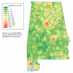
Alabama Population Map
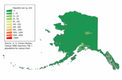
Alaska Population Map
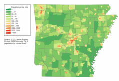
Arkansas Population Map
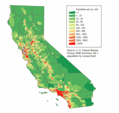
California Population Map
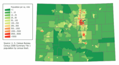
Colorado Population Map
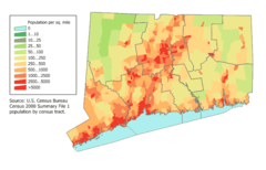
Connecticut Population Map
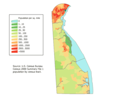
Delaware Population Map
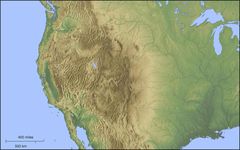
Der Westen Der Vereinigten Staaten
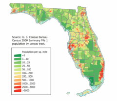
Florida Population Map
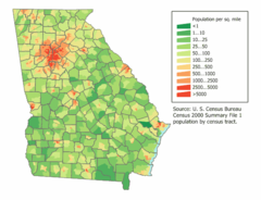
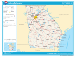
Georgia Population Map
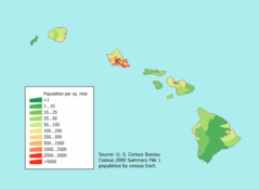
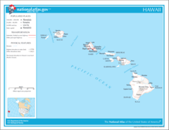
Hawaii Population Map
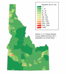
Idaho Population Map
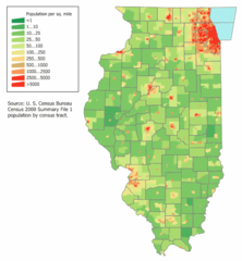
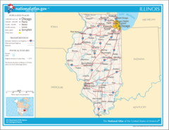
Illinois Population Map
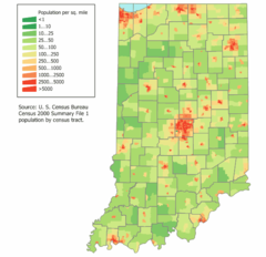
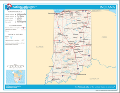
Indiana Population Map
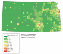
Kansas Population Map
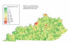
Kentucky Population Map
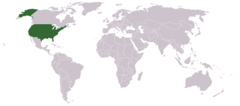
Location Uf Us
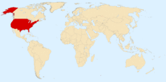
Location Usa
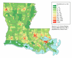
Louisiana Population Map
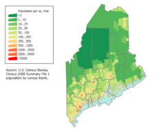
Maine Population Map
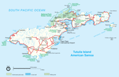
Mapoftutuila American Samoa
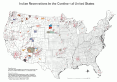
Map Indian Reservations Usa
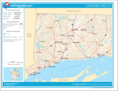
Map of Connecticut Na
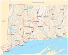
Map of Connecticut Na Cropp
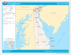
Map of Delaware Na
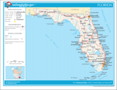
Map of Florida Na
Map of Georgia Na
Map of Hawaii Na
Map of Illinois Na