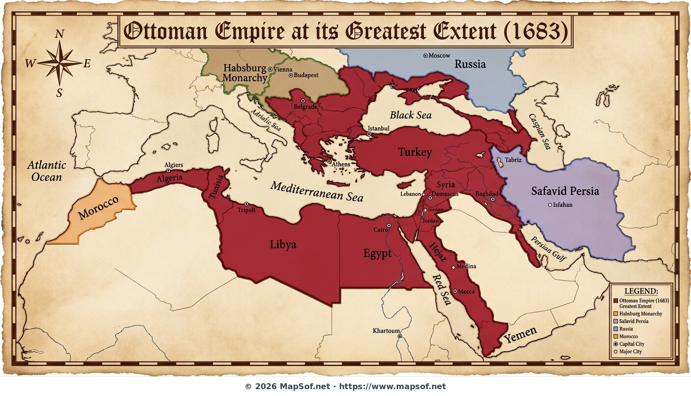
Ottoman Empire Greatest Extent 1683 Map
Peak Imperial Expansion
This historical map illustrates the **Ottoman Empire** at its absolute territorial zenith in 1683, just before the pivotal Battle of Vienna halted its advance into Central Europe. Presented on an aged parchment background, the deep crimson areas visualize the vast lands under imperial control, spanning three continents at the height of its power during the early modern era.
A Transcontinental Power
The map details the empire's immense reach, encompassing Southeast Europe up to the Habsburg border near **Budapest**, all of Anatolia, the Levant, Mesopotamia, and North Africa from Egypt to Algeria. It also highlights control over the vital holy cities of **Mecca** and Medina in the Hejaz. Key urban centers like the capital Istanbul, Belgrade, Cairo, and Baghdad are accurately located.
Geopolitical Rivals
This snapshot captures the critical moment before the Great Turkish War began a long period of Ottoman retraction. The map provides necessary context by clearly labeling major neighboring powers and rivals, including the **Habsburg Monarchy** to the northwest, **Safavid Persia** to the east, and the rising power of Russia to the north.
More Republic of Turkey Static Maps
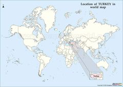
Location of Turkey Map
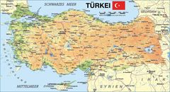
Map of Turkey
Map Turkey
Turkeymap
Turkey Map
Turkey Map 2
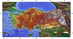
Turkey Topografical Map
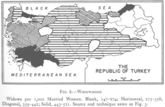
1927 Widowhood Turkey
800px Sevr Antlasmasi
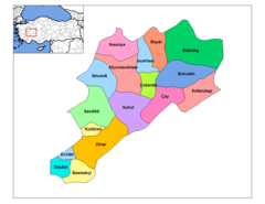
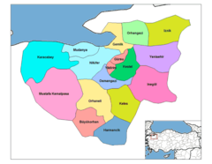
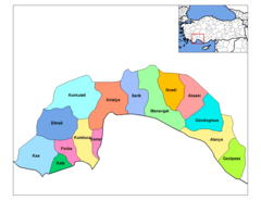
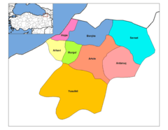
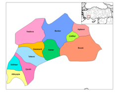
Afyonkarahisar Districts
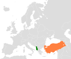
Albania Turkey Locator 1

Alevis
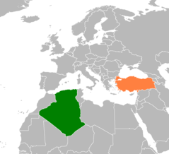
Algeria Turkey Locator 1
Antalya Districts
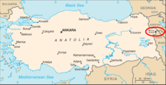
Ararat Location
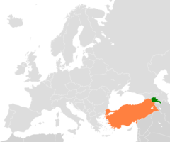
Armenia Turkey Locator 2
Artvin Districts
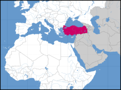
Asia Location Tur
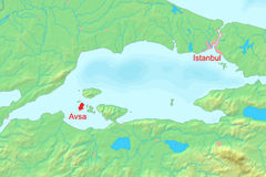
Avsha Marmara Map
Aydin Districts
Balikesir Districts
Bartin Districts
Batman Districts
Bayburt Districts
Bilecik Districts
Bitlis Districts
Bolu Districts
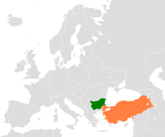
Bulgaria Turkey Locator 2
Burdur Districts