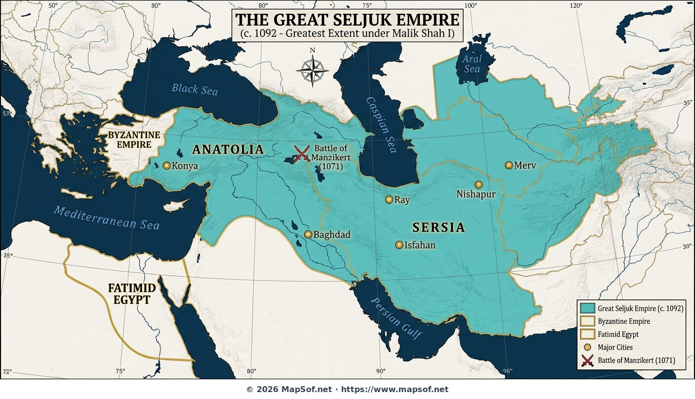
Great Seljuk Empire Map 1092: Zenith Under Malik Shah I
The Seljuk Zenith Under Malik Shah I
This historical map illustrates the **Great Seljuk Empire** at its absolute zenith around the year 1092 CE, during the reign of Sultan Malik Shah I. Stretching across a vast expanse from the steppes of Central Asia to the shores of the Mediterranean in Anatolia, the empire was the dominant power of the medieval Islamic world. The map depicts the extensive territories under Seljuk control at this pivotal moment in history, just before its eventual fragmentation following Malik Shah's death.
Key Cities and Historical Context
Major urban centers that served as administrative, cultural, and strategic hubs are highlighted, including the splendid capital of **Isfahan**, the Abbasid seat of **Baghdad**, along with Nishapur, Merv, Ray, and the western outpost of Konya. Crucially, the location of the **Battle of Manzikert (1071)** is marked, indicating the decisive victory over the Byzantines that opened Anatolia to Turkic migration. The map also establishes geopolitical context by showing major neighboring powers, specifically the **Byzantine Empire** to the west and the rival Shi'ite **Fatimid Caliphate** in Egypt.
More Republic of Turkey Static Maps
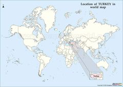
Location of Turkey Map
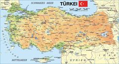
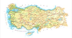
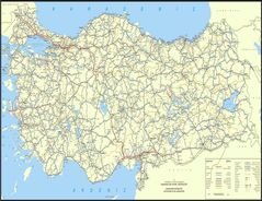
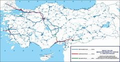
Map of Turkey
Map Turkey
Turkeymap
Turkey Map
Turkey Map 2
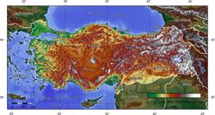
Turkey Topografical Map
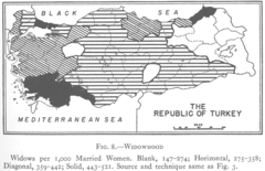
1927 Widowhood Turkey
800px Sevr Antlasmasi
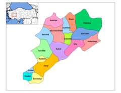
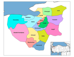
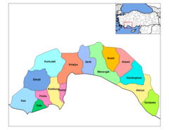
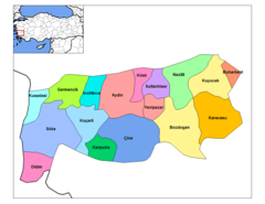
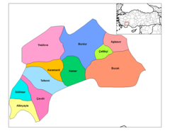
Afyonkarahisar Districts
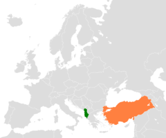
Albania Turkey Locator 1

Alevis
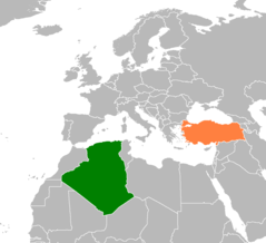
Algeria Turkey Locator 1
Antalya Districts
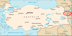
Ararat Location
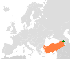
Armenia Turkey Locator 2
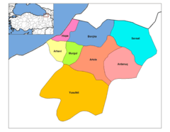
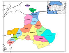
Artvin Districts
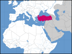
Asia Location Tur
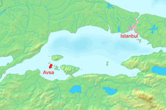
Avsha Marmara Map
Aydin Districts
Balikesir Districts
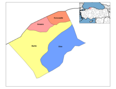
Bartin Districts
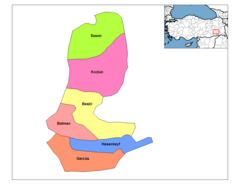
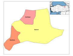
Batman Districts
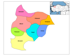
Bayburt Districts
Bilecik Districts
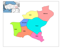
Bitlis Districts
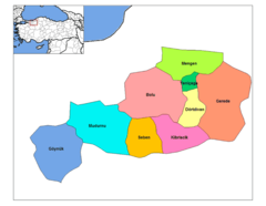
Bolu Districts
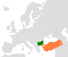
Bulgaria Turkey Locator 2
Burdur Districts