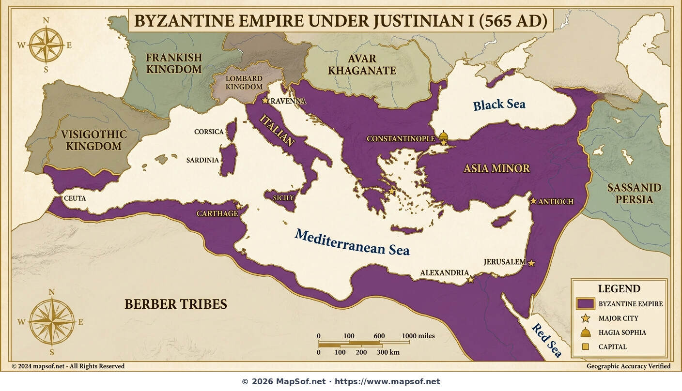
Byzantine Empire Map: Greatest Extent Under Justinian I (565 AD)
The Zenith of Byzantium
This historical map illustrates the **Byzantine Empire** (Eastern Roman Empire) at its absolute territorial peak in **565 AD**, corresponding with the end of Emperor **Justinian I's** reign. Rendered in imperial purple and gold, it visualizes the results of Justinian's ambitious *Renovatio Imperii*—the restoration of the Empire. The map highlights vast stretches of land surrounding the entire Mediterranean basin under centralized Roman rule for the last time in history.
Key features include the reconquered former Western territories: the Vandal Kingdom in **North Africa** (centered on Carthage), the Ostrogothic regions of **Italy** (governed from Ravenna), and the coastal areas of southern Spain. Major strategic and cultural cities are marked, including **Constantinople**, Antioch, Jerusalem, and Alexandria. A specific indicator points to the location of Justinian's massive new cathedral, the **Hagia Sophia**, in the capital.
Geopolitical Context
Beyond the imperial borders, neighboring powers like the Sassanid Persian Empire, the Franks, and the Visigoths are shown to provide geopolitical context. This map captures a fleeting moment of maximum expansion before subsequent centuries saw significant territorial losses.
More Republic of Turkey Static Maps
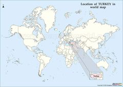
Location of Turkey Map
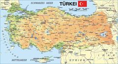
Map of Turkey
Map Turkey
Turkeymap
Turkey Map
Turkey Map 2
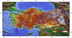
Turkey Topografical Map
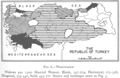
1927 Widowhood Turkey
800px Sevr Antlasmasi
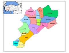
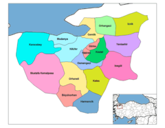
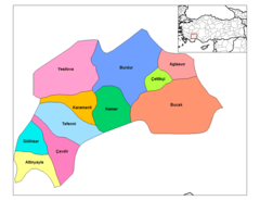
Afyonkarahisar Districts
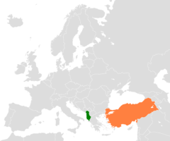
Albania Turkey Locator 1

Alevis
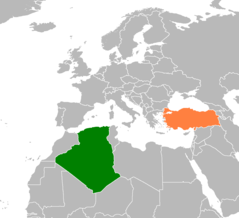
Algeria Turkey Locator 1
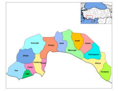
Antalya Districts
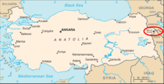
Ararat Location
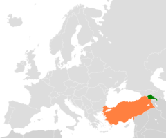
Armenia Turkey Locator 2
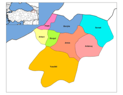
Artvin Districts
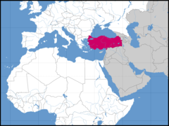
Asia Location Tur
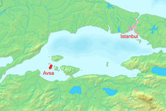
Avsha Marmara Map
Aydin Districts
Balikesir Districts
Bartin Districts
Batman Districts
Bayburt Districts
Bilecik Districts
Bitlis Districts
Bolu Districts
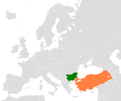
Bulgaria Turkey Locator 2
Burdur Districts