Tornado, West Virginia
Tornado: census-designated place in Kanawha County, West Virginia.
About
Tornado is a CDP located in the county of Nomós Ileías in the U.S. state of West Virginia.
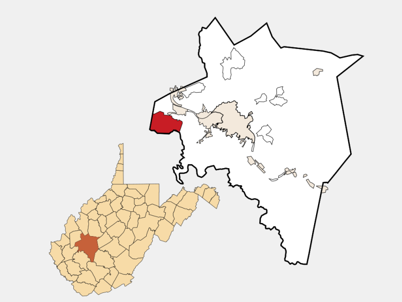
Quick Facts about Tornado
| Country | United States of America |
| State | West Virginia (United States) |
| County | Nomós Ileías |
| Area | 44547795 km2 |
| Latitude & Longitude | 38.3331,-81.8558 |
| Altitude | 2,014 feet / 614 meters |
| Time Zone | Eastern Time Zone |
| Local time | 23:37:12 (6th November 2026) |
| Postal code | 25202 |
| Weather | 46℉ Mostly Cloudy 7-days weather |
Kanawha County West Virginia incorporated and unincorporated areas Upper Falls highlighted locator map image
Geography
Tornado is located at 38°19'59"N 81°51'21"W (38.3330935256922, -81.8557915091515).
Tornado map
Click "full screen"  icon to open full mode. View satellite images
Weather
46°F
Mostly Cloudy
2 mph SW
Overnight
Mostly cloudy, with a low around 46. Southwest wind around 2 mph.
7-Day Forecast
Tornado zip code is 25202.
County name: Kanawha, County
fips: 54039
Nearby Schools and Colleges
Schools and campuses linked to Tornado, WV. Select a name to open its map and contact details.
| Code | Name | City | ZIP |
|---|---|---|---|
| 237172 | Ben Franklin Career Center | Dunbar (WV) | 25064 |
Nearby Transit Stations (8)
Rail and bus stations connected to Tornado, WV. Select a station to open its map and address details.
| Code | Name | Address | Type |
|---|---|---|---|
| CHW | Charleston | 350 MacCorkle Avenue - Southeast | RAIL |
| MNG | Montgomery | Third Avenue and Washington Street | RAIL |
| HUN | Huntington | 1050 8th Avenue | RAIL |
| AKY | Ashland Transportation Center | 99 15th Street | RAIL |
| THN | Thurmond | Hwy 25 & Hwy 2 | RAIL |
Closest post offices linked to Tornado.
| Post Office Name | City | ZIP |
|---|---|---|
| Tornad Post Office | Tornado (WV) | 25202 |