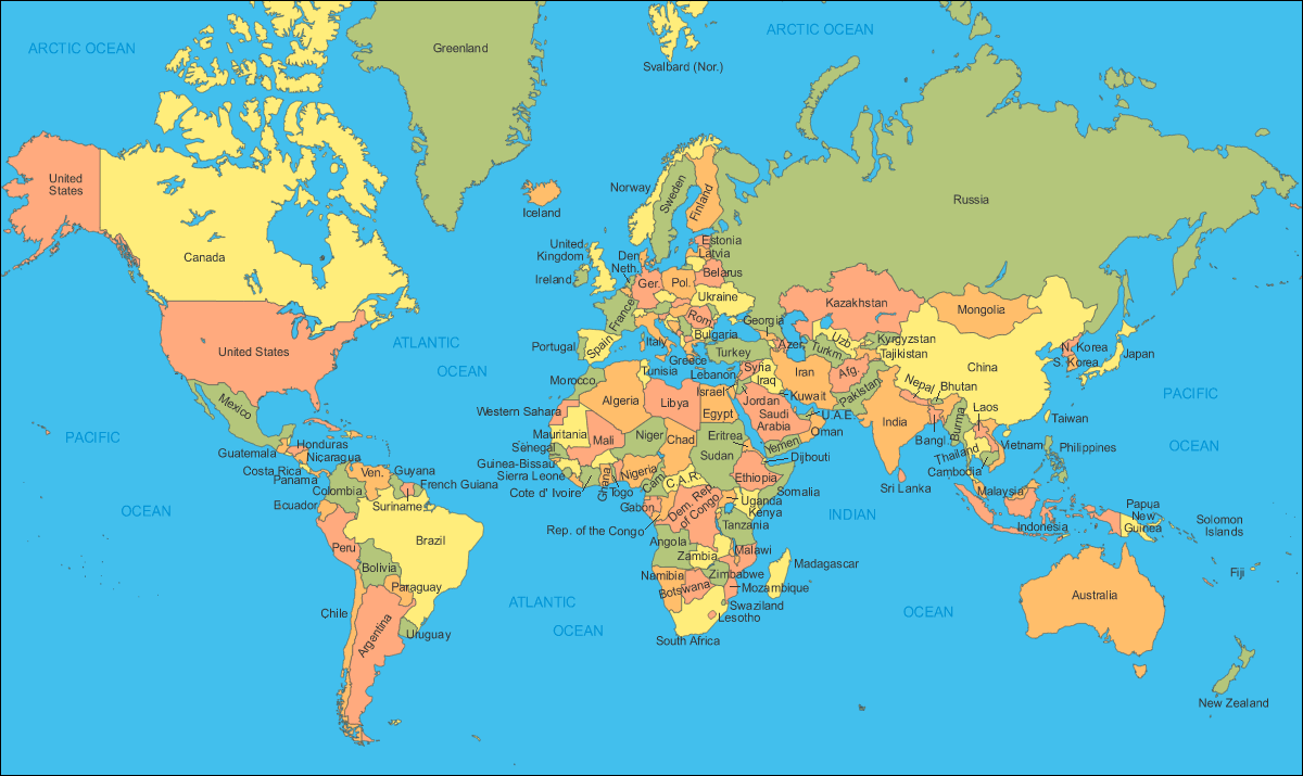
World Political Map
The world political map displays over 200 internationally recognized sovereign states and their corresponding borders. Boundaries between countries are agreed upon by neighboring states and can follow natural features like rivers or straight lines determined by latitude and longitude.
The world's largest country by land area is Russia, spanning two continents across Europe and Asia. Other massive countries include Canada, United States, China, and Brazil. The smallest recognized country is the Vatican City in Rome, Italy.
There are many ways to categorize the world's countries. By government type, most are either republics or constitutional monarchies. Based on economy type, some of the wealthiest nations by GDP per capita are Luxembourg, Singapore, Ireland, Norway, and United States.
Geographically, the world can be divided into regions like North and South America, Europe, Africa, Asia, and Oceania. Major oceans include the Atlantic, Pacific, Indian, Arctic, and Southern Oceans. Continents contain various climate zones from tropical to tundra.
Politically, there are many international organizations and alliances, including the United Nations, European Union, NATO, and more. Borders are not always static, changing periodically with geopolitical developments. The diverse political landscape across the world contributes to a complex but globalized civilization.
More Globe Static Maps
Map Europe Outermost Regions
Global Gt3
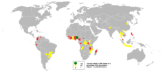
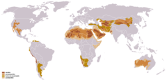
2005cassava
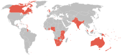
2006 Paralympic Games Countries
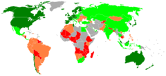
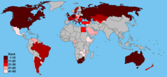
2006 2007 Global Competitiveness Index
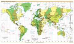
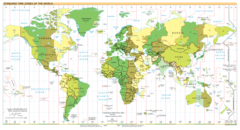
2007 02 20 Time Zones A4 White Bck
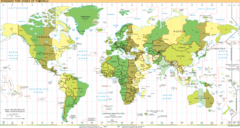
2007 02 20 Time Zones White Bck
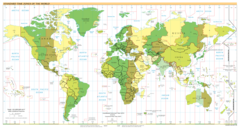
2007 02 20 Time Zones
2007 02 21 Time Zones White
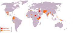
2008 04 Ongoing Conflicts
2010cwg Prelim Countries Map
50 Largest Greek Diaspora
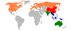
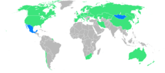
Asean Member States
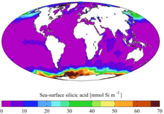
Ayool Woa Surf Si
Aavikko
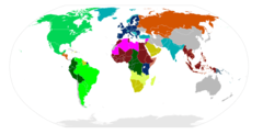
Active Blocs
Aladimap123
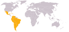
Alca Members
Aldautomotive
Amnesty International Sections 2005
Antartic Nations Map
Antartic Nations
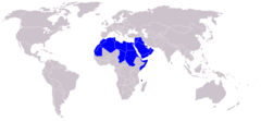
Arab2
Armeniangenociderecognition
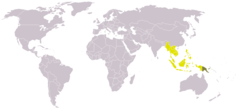
Asean Map123

Bip Weltkarte 2006 De
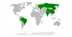
Bric
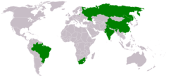
Brics
Bwaussen