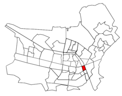
Ijssel 5 97133e 52 13786n
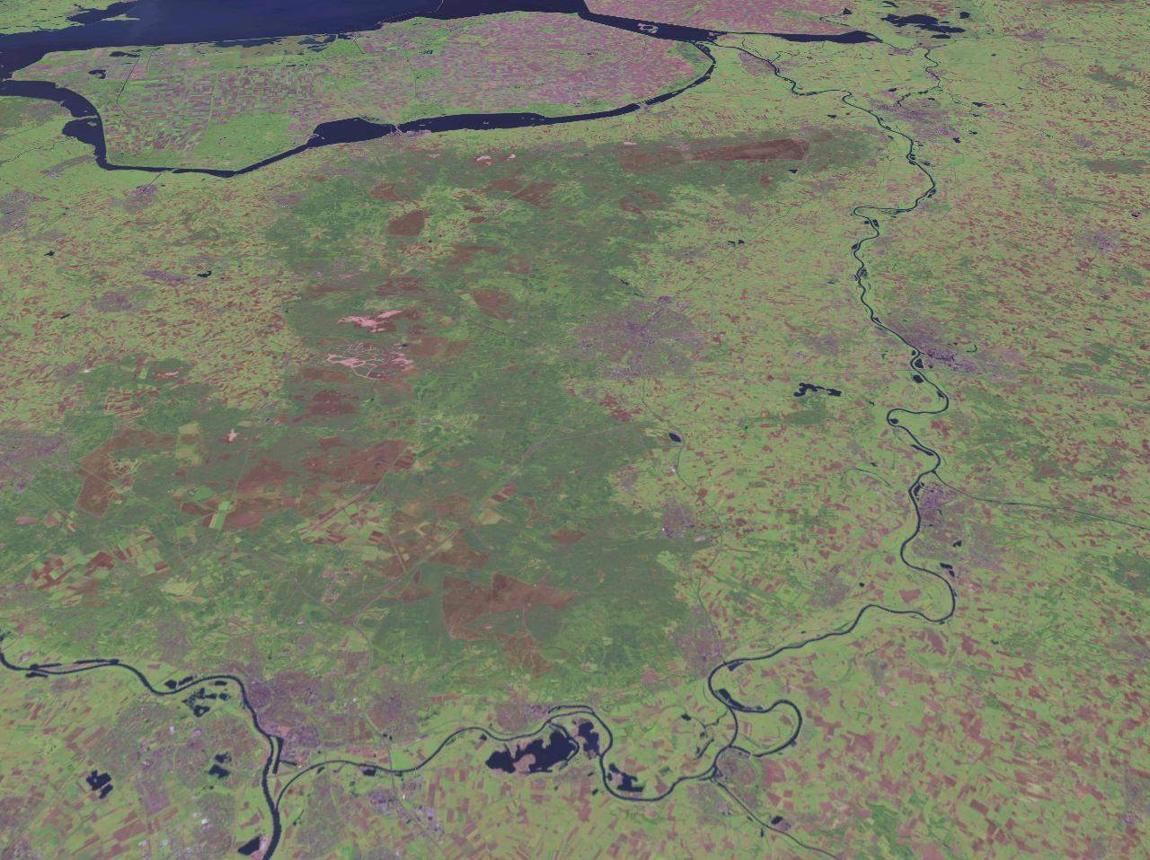
Click on the Ijssel 5 97133e 52 13786n to view it full screen. File Type: jpg, File size: 185347 bytes (181 KB), Map Dimensions: 1280px x 958px (16777216 colors)
More Kingdom of the Netherlands Static Maps
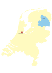
Locationnetherlands
920 x 460 - 27,305k - png
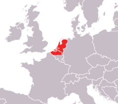
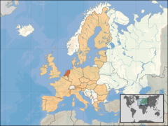
Locationnetherlandsineurope
920 x 704 - 39,540k - png
Locationnetherlandslowprofile
64 x 64 - 42,917k - gif
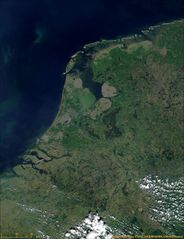
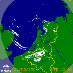
Satellite Image of the Netherlands In May 2000
1232 x 1602 - 240,890k - jpg
000 Hollanda Harta
330 x 355 - 6,562k - png
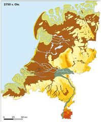
2750vc Ex Leg Copy
510 x 614 - 66,385k - jpg
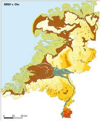
3850vc Ex Leg Copy
510 x 613 - 64,202k - jpg
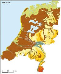
500vc Ex Leg Copy
510 x 616 - 64,241k - jpg
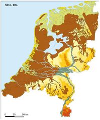
50nc Ex Leg Copy
510 x 615 - 66,050k - jpg
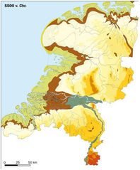
5500vc Ex Leg
510 x 616 - 60,156k - jpg
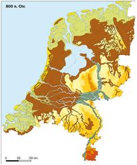
800nc Ex Leg
510 x 613 - 66,784k - jpg
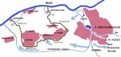
Armhoef
633 x 501 - 16,206k - png
Berkelenschot
633 x 501 - 15,743k - png
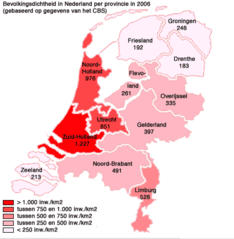
Bevolkinsdichtheidnederland
408 x 417 - 17,604k - png
Bollenstreek3
330 x 355 - 19,287k - jpg
Bruggen Over De Maas
918 x 933 - 29,233k - png
Bruggen Over De Rijn
920 x 411 - 29,058k - png
Carte Des Pays Bas (netherlands) Without Names
907 x 1020 - 30,155k - png
Chaff Netherlands
400 x 400 - 8,215k - gif
Chaff Northsea
256 x 256 - 69,938k - gif
Deltametropool
356 x 273 - 18,768k - jpg
Density Netherlands 2007
1200 x 1360 - 281,950k - png
Dietsland I
678 x 595 - 9,657k - png
Dijken Baardwijkse Overlaat
800 x 380 - 34,002k - jpg
Drenthe
842 x 1191 - 17,743k - png
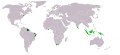
Dutch Empire 2
1357 x 628 - 15,337k - png
Eu Location Ned
1600 x 1200 - 260,719k - png
Eemien Nl Paleogeography 2
295 x 324 - 15,586k - jpg
Eemien Nl Paleogeography 3
295 x 324 - 17,704k - jpg
Eemien Nl Paleogeografie 1
295 x 324 - 15,571k - jpg