Massillon, Iowa
Massillon: township in Cedar County, Iowa.
About
Massillon is a township located in the county of Cedar in the U.S. state of Iowa.
Quick Facts about Massillon
| Country | United States of America |
| State | Iowa (United States) |
| County | Cedar County |
| Area | 35.08 km2 |
| Latitude & Longitude | 41.9147,-90.9227 |
| Altitude | 778 feet / 237 meters |
| Time Zone | America/Chicago |
| Local time | 22:51:09 (6th November 2026) |
| Weather | 48℉ Mostly Sunny 7-days weather |
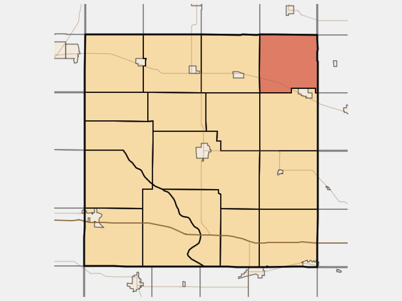
Map highlighting Massillon Township Cedar County Iowa locator map image
Geography
Massillon is located at 41°54'53"N 90°55'22"W (41.9147400, -90.9226500).
Massillon map
Click "full screen"  icon to open full mode. View satellite images
Weather
48°F
Mostly Sunny
0 to 5 mph N
Today
Mostly sunny. High near 48, with temperatures falling to around 45 in the afternoon. North wind 0 to 5 mph.
7-Day ForecastNearby Schools and Colleges
Schools and campuses linked to Massillon, IA. Select a name to open its map and contact details.
| Code | Name | City | ZIP |
|---|---|---|---|
| 153162 | Cornell College | Mount Vernon (IA) | 52314-1098 |
Nearby Transit Stations (6)
Rail and bus stations connected to Massillon, IA. Select a station to open its map and address details.
| Code | Name | Address | Type |
|---|---|---|---|
| DVP | Davenport, Iowa | 304 West River Drive | BUS |
| RKI | Rock Island, IL | 3500 5th Avenue | BUS |
| MLI | Moline, Illinois | 1200 River Drive | BUS |
| KEE | Kewanee | Loomis and North Tremont Sts. | RAIL |
| MTP | Mount Pleasant | 418 North Adams Street | RAIL |
Closest post offices linked to Massillon.
| Post Office Name | City | ZIP |
|---|---|---|
| Lowden Post Office | Lowden (IA) | 52255 |
Other cities in Cedar County
Cities, towns, neighborhoods & other populated places in Cedar County , IA.
| City Name | Population | Title |
|---|---|---|
| Tipton | 3,178 | Town in Iowa |
| West Branch | 2,519 | City in Iowa, United States |
| Durant | 1,857 | City in Cedar County, Iowa |