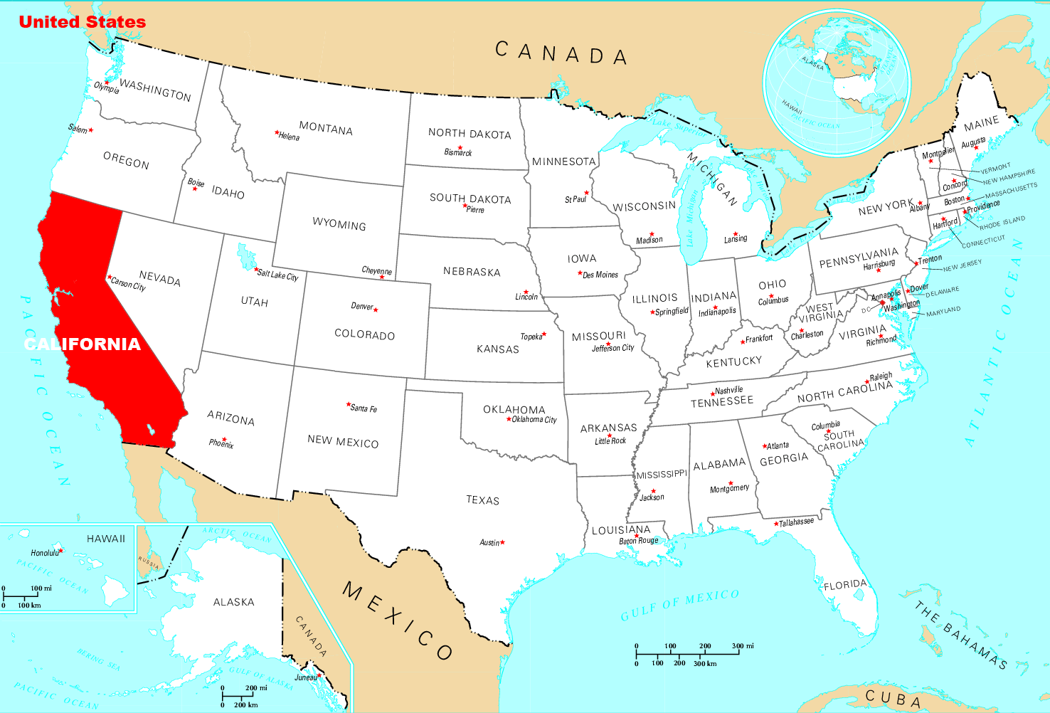
Where Is California Located
California stretches along the West Coast of the United States, bordering the Pacific Ocean.
Western Edge of U.S.
California forms the westernmost contiguous state in the continental U.S. It spans from 32° to 42° North latitude.
Bordered by Oregon and Nevada
California shares its northern border with Oregon and part of its eastern border with Nevada. Southern California reaches down towards Mexico.
Pacific Coastline
California has over 800 miles of Pacific Ocean coastline along its length, featuring iconic beaches, cliffs, and surf.
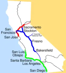
Diverse Regions
The state contains distinct regions including the Central Valley, Sierra Nevada mountains, Mojave Desert, and urbanized coastal cities.
Modules
Some key California cities by region include:
- Northern - San Francisco, Oakland, San Jose
- Central - Sacramento, Fresno
- Southern - Los Angeles, San Diego
California’s expansive size, ranging from Oregon to Mexico, contributes to its diverse landscapes and settlements. Its western edge faces the Pacific Ocean.
More California Static Maps
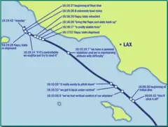
Alaska Airlines Flight 261 Path
Amtrak California Simplified Map
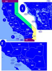
Area Codes Ca
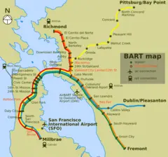
Bart Map
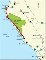
Bigsurmap
Blueca
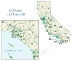
Ca District 50 Location
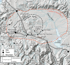
Calderarelief Large
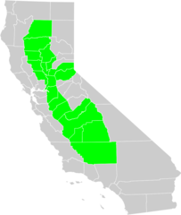
California Central Valley County Map
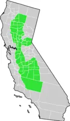
California Centralvalley County Map
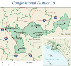
California District 38 2004
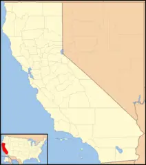
California Locator Map With Us
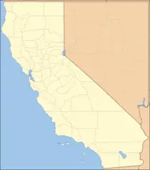
California Locator Map
California Map Showing San Francisco County
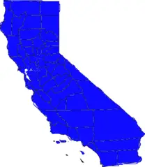
California Map
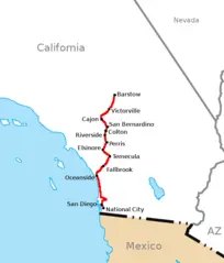
California Southern Railroad Route Map
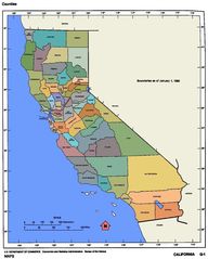
California Counties 300
California Counties Map1
.png)
California County Map (alameda County Highlighted)
.png)
California County Map (alpine County Highlighted)
.png)
California County Map (amador County Highlighted)
.png)
California County Map (butte County Highlighted)
.png)
California County Map (calaveras County Highlighted)
.png)
California County Map (colusa County Highlighted)
.png)
California County Map (contra Costa County Highlighted)
.png)
California County Map (del Norte County Highlighted)
.png)
California County Map (el Dorado County Highlighted)
.png)
California County Map (fresno County Highlighted)
.png)
California County Map (glenn County Highlighted)
.png)