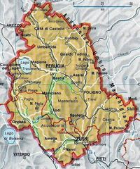
Map of Umbria

Click on the Map of Umbria to view it full screen. File Type: png, File size: 183078 bytes (178.79 KB), Map Dimensions: 750px x 850px (256 colors)
More Umbria Static Maps
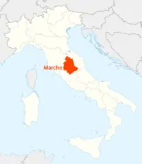
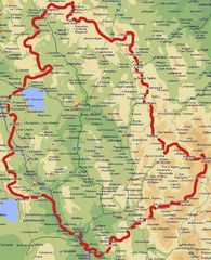
Location of Umbria Map
1338 x 1548 - 98,442k - png
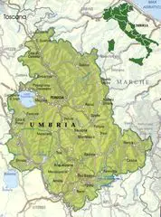
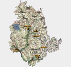
Map of Umbria
750 x 850 - 183,078k - png
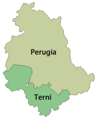
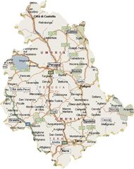
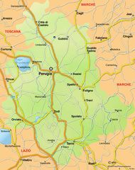
Province Map of Umbria
596 x 741 - 14,457k - png
Map of Umbria 1
650 x 875 - 121,747k - jpg
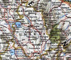
Map of Umbria 2
700 x 664 - 49,540k - jpg
Map Umbria
556 x 700 - 62,716k - jpg
Political Map of Umbria
830 x 703 - 150,394k - jpg
Political Map Umbria
1450 x 1800 - 363,205k - jpg
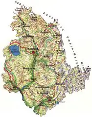
Pysical Map of Umbria
750 x 922 - 161,490k - jpg
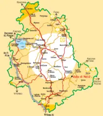
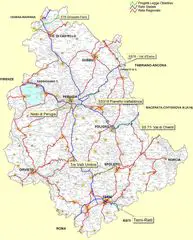
Road Map Umbria
634 x 800 - 78,546k - jpg
Umbria Map
508 x 650 - 58,513k - jpg
Umbria Political Map
1165 x 1400 - 367,547k - jpg
Umbria Pysical Map
773 x 1002 - 75,227k - jpg