MapSof
.net
Places
Countries
States
Capital Cities
All Places
Maps
Physical Maps
Political Maps
Historical Maps
All Maps
Tools
Distance Calculator
Address Locator
Geocoder
Street View
Coordinate Finder
Distances
Countries
States
Cities
Maps
Distance Calculator
Geocoder
Distances
Home
/
Maps
/
Physical Maps
Physical Maps
Browse our collection of physical maps from around the world.
Physical
Political
Historical
Relief
Climate
Thematic
Elevation
Satellite
Road
Topo
Street
Contour
Election
Showing
54
maps — Page 2 of 2
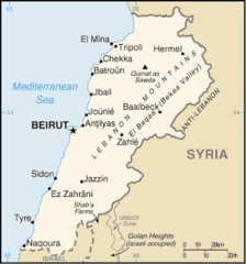
Locationlebanon
Lebanon
800x400 · 23,016k · png
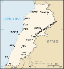
Map of Lebanon Heb
Lebanon
330x354 · 6,447k · png
May 2007 Lebanon Fighting
Lebanon
615x398 · 55,091k · jpg
May 2007 Lebanon Fighting 1
Lebanon
1000x647 · 399,999k · png
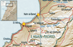
South Lebanon Qana Locator Map
Lebanon
827x615 · 44,157k · png
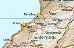
South Lebanon Map Jubayl
Lebanon
827x615 · 44,194k · png
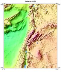
Usgs Cmg Infobank Atlas, Lebanon Regions
Lebanon
623x732 · 86,942k · jpg
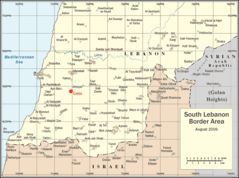
Un Southern Lebanon
Lebanon
1200x898 · 254,893k · png
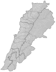
Lebanon Municipalities
Lebanon
1364x1751 · 82,746k · png
Map of Lebanon
Lebanon
330x354 · 10,919k · png
Lebanon Flag Map
Lebanon
2048x2515 · 85,221k · png
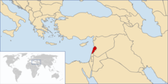
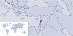
Where Is Lebanon Located
Lebanon
1000x500 · 47,669k · png
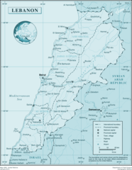
Lebanon
Lebanon
1939x2500 · 357,314k · png
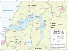
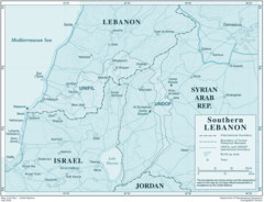
Southern Lebanon
Lebanon
2577x1978 · 414,459k · png
«
1
2
»