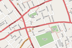
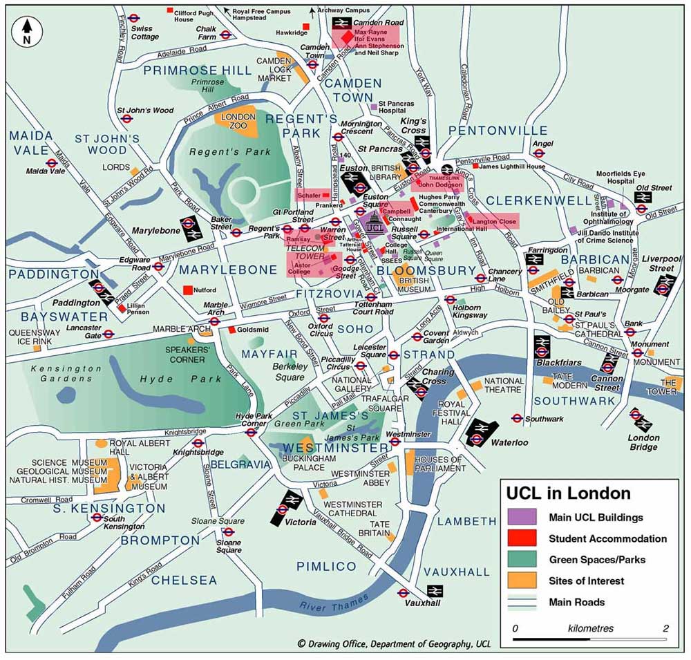
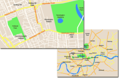
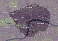
City Center Map of London
With its network of neighborhoods, landmarks and winding streets, having a map is crucial for exploring London's vast city center.
River Thames
The River Thames bisects central London, providing scenic views and transport links. Famous bridges like Tower Bridge and London Bridge connect both sides. The London Eye, Big Ben, and Parliament overlook the river.
West End
The vibrant West End has bustling shopping areas like Oxford Street and entertainment hubs like Soho for theater and nightlife. Iconic squares like Trafalgar Square and Piccadilly Circus anchor the West End.
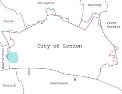
City of London
The City of London is the historic core and financial center with ultra modern towers and medieval corners like St Paul's Cathedral. Major stations like Moorgate connect the City to greater London.
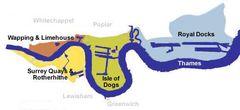
East End
Further east, the East End has historically been a working class area. Today it blends old and new with markets, curry houses, and Olympic Park. Shoreditch and Brick Lane boast thriving creative scenes.
South Bank
Across the Thames, the South Bank attracts visitors to the National Theatre, Borough Market food stalls, and restaurants lining the riverfront.
A detailed map is invaluable for navigating London's complex landscape, public transport, and wealth of sights. Paying attention to each area's characteristics makes city exploration efficient and enriching.
More London Static Maps
Bwfe Plan (cropped)
Bwfe Plan

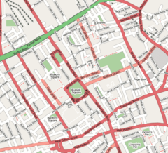
Bloomsbury Map 1
Central Kensington
City of London Map 01
Docklands Map
Drury Lane Map
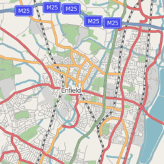
Enfield Town Map 1
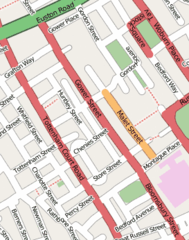
Gower Street Map
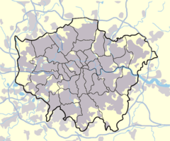
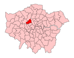
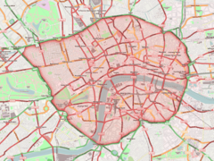
Greater London Outline Map Bw
Greater London Outline Map
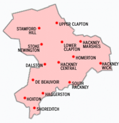
Hackney Districts
Hampsteadkilburnconstituency

High Holborn Map 1
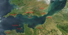
Kanal La Manche S Popisem
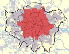
London Postal District
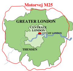
London Boundaries Da
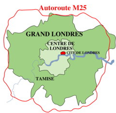
London Boundaries Fr
London Congestion Charge Zone
London Congestion Charge Zone 1
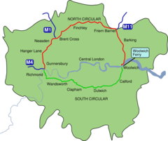
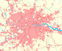
London North South Circulars
London1300 Marking the Spot of the Future Marshalsea
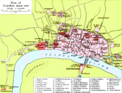
Londonse Map 1946 Nw Courner
Meyers B10 S0896a
Oxford Street London Map
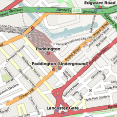
Paddington Station Location Map
Soho Map 1
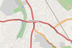
Whetstone, London Map 1
Bloomsbury Map 1