Regione Lombardia (Lombardia), Lombardy
Regione Lombardia:
About
State Snapshot
Lombardia at a glance
Lombardia currently has 678 quality-checked populated place pages and 9 county pages linked on MapSof.
Mapped cities & towns
678
These counts use a stricter populated-place filter so the main lists stay focused on real city and town pages.
County pages
9
Open related pagesLargest city
MilanPopulation 1,366,180
Top linked places
Quick Facts about Lombardia
| State | Lombardy (Italy) |
| Latitude & Longitude | 45.6667,9.5000 |
| Time Zone | Europe/Rome |
| Local time | 14:29:31 (21st July 2026) |
Geography
Lombardia is located at 45°40'0"N 9°30'0"E (45.6666700, 9.5000000).
Regione Lombardia map
Click "full screen"  icon to open full mode. View satellite images
Llombardia, Lombardei, Lombardie, Lombardiet, Lombardije, Lombardy, Lombardía, Region de Lombardia, Región de Lombardía, lombaleudia ju, 롬바르디아 주
Map & Images (more maps)
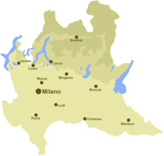
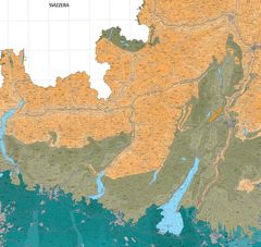
Hydrographic Map of Lombardy
1500 x 1422
- 75,969k -
png
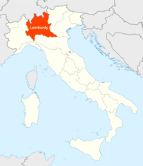
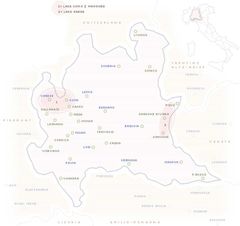
Location of Lombardy Map
1338 x 1548
- 100,763k -
png
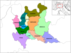
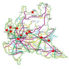
Province Map Lombardy
1000 x 751
- 61,567k -
png
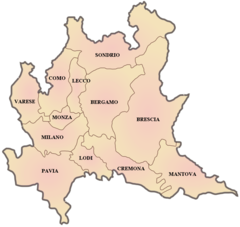
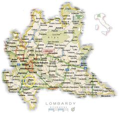
Province Map of Lombardy
819 x 776
- 67,525k -
png
Ecopedological Map of Lombardy
1800 x 1703
- 531,067k -
jpg
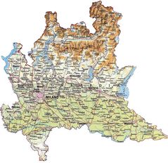
Map of Lombardy
650 x 611
- 24,568k -
jpg
Political Map Lombardy
630 x 630
- 61,465k -
jpg
Political Map of Lombardy
750 x 714
- 108,548k -
jpg
Pysical Map Lombardy
950 x 921
- 151,210k -
jpg